
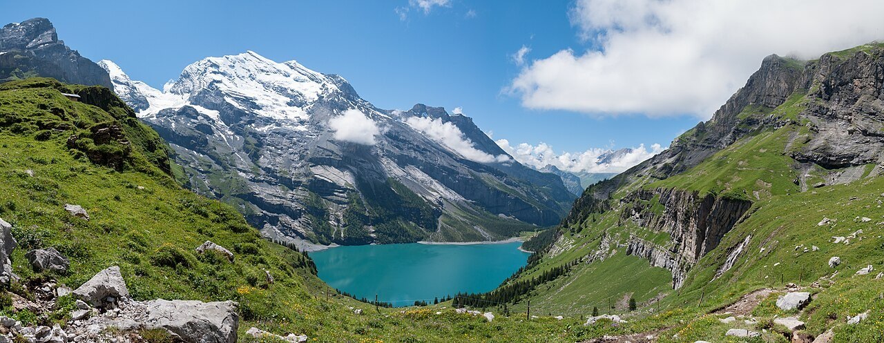
The Doldenhorngruppe and Its Main Summit
The SAC's historical archive distinguishes between the Groß-Doldenhorn and the Klein-Doldenhorn, treating the group as a unit with a clear principal summit. The Doldenhorn at 3,638 metres is that principal summit, standing above Kandersteg — the valley settlement that serves as the natural orientation point for the entire massif. The Klein-Doldenhorn is the group's secondary top, lower and less frequently the object of independent expeditions. This internal hierarchy shapes how the mountain has been described in climbing literature, with the main summit providing the reference point against which approach lines and subsidiary features are measured.
The 1862 Ascent by Roth and von Fellenberg
The Swiss Alpine Club's institutional history records the ascent of the Doldenhorn's main summit in 1862 as one of the significant achievements associated with Abraham Roth and Edmund von Fellenberg, who made the climb with local guides. Both men were central figures in the founding generation of the SAC, and their ascent of the Doldenhorn belongs to a cluster of exploratory climbs that defined the early club's geographic ambitions in the Bernese Oberland. The subsidiary summits of the group present a less clear chronological record, and the sources available do not support firm dating of their first ascents.
Approaches and Climbing Geography
Older SAC accounts of the Doldenhorn group describe a climbing geography organised around distinct lines of approach. The Gallet route on the northern aspect represents one traditional way onto the mountain, while other approaches proceed via the Doldenhornhütte, with the terrain features of the Spitzstein and Leiterflühli serving as reference points along the way. These named features — hut, rock formations, and slope designations — give the mountain's approach terrain a legible structure that has persisted in the literature across successive generations of alpinists, reflecting the way route knowledge was codified and transmitted in the club's early decades.