
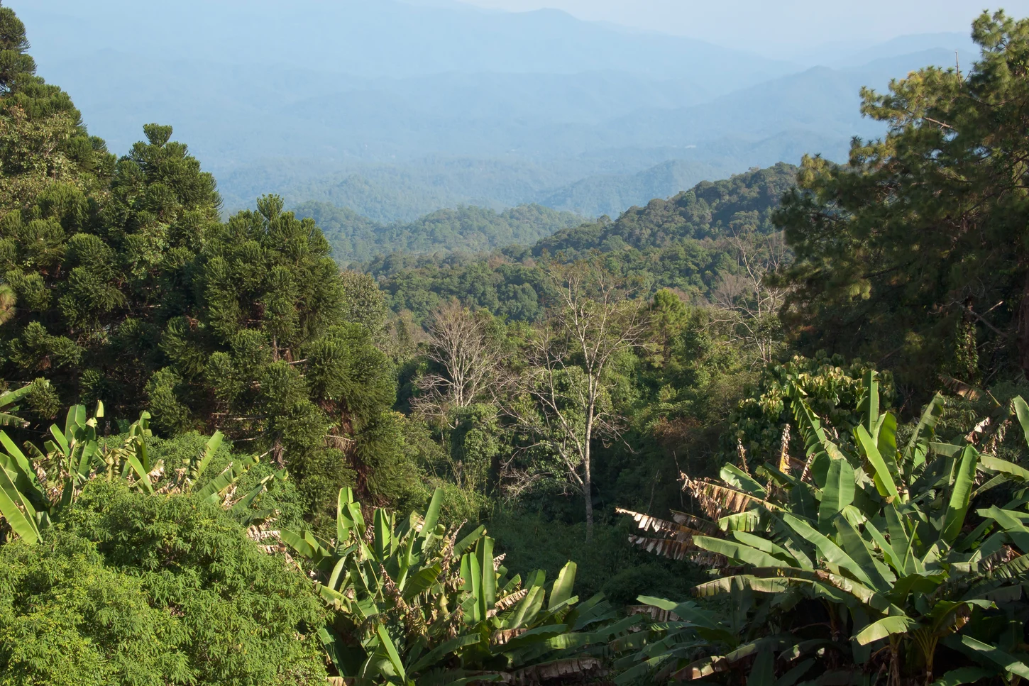
Granite, Watershed, and Park Designation
The Doi Suthep–Pui uplands are largely granitic, and Doi Pui's summit zone rises from this ancient basement. Elevated catchments drain into the Ping River basin. The national park was formally designated in 1981 and expanded in 1982, bringing Doi Pui and surrounding terrain under protected status.
Elevation Forest Formations
Chiang Mai University research documents distinct forest formations across the park's elevation gradient. Upper slopes support moist evergreen forest, while lower zones carry different floristic assemblages. CMU forest surveys have characterised these formations through systematic sampling, linking upper evergreen cover directly to the park's headwater catchment function.
Hmong Settlement on the Mountainside
Hmong villages occupy sections of the Doi Pui mountainside. CMU community research documents that residents of these settlements established themselves before the national park was gazetted in 1981. The research notes varied composition among households and villages and cautions against assigning a single arrival date or uniform origins across communities.