
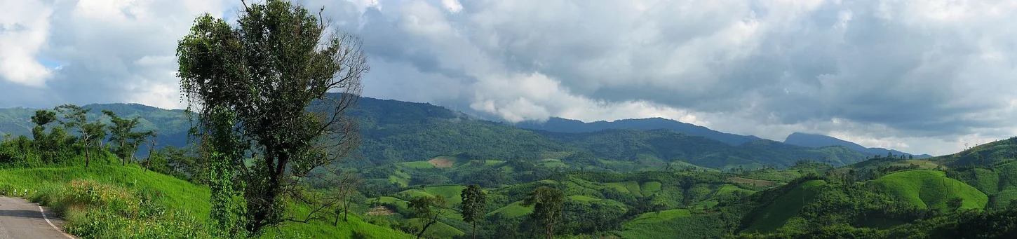
Tilted Limestone at Phu Chi Fa
The Thailand Department of Mineral Resources documented tilted limestone beds at Phu Chi Fa within the range. These strata accumulated in a shoreline or depositional environment before tectonic activity rotated them from their original orientation. Differential erosion subsequently removed softer material, leaving resistant limestone standing as a near-vertical escarpment.
Phu Chi Fa Forest Park
Phu Chi Fa — whose Thai name translates as "pointing to the sky" — is a specific cliff locality where the escarpment meets the Thai–Lao border. In 1998 the Department of National Parks established a forest park designation at Phu Chi Fa, a legal status applying to that forest park unit within the broader range.
Ban Pha Tang and the Border Road
Ban Pha Tang is a highland settlement along the border road running through the range. The road connects Ban Pha Tang to the Phu Chi Fa cliff area, passing through dissected terrain where the range's geology shapes the highland landscape.