
A Name Carried Forward and One Preserved
Inthawichayanon ruled Chiang Mai in the nineteenth century, and the mountain bears his name. The earlier name, Doi Ang Ka, persists in Ang Ka Luang, the waterlogged hollow near the summit. The Thailand Department of National Parks records competing versions of that older name's etymology without resolving them.
The Ang Ka Hollow and Its Cloud Forest
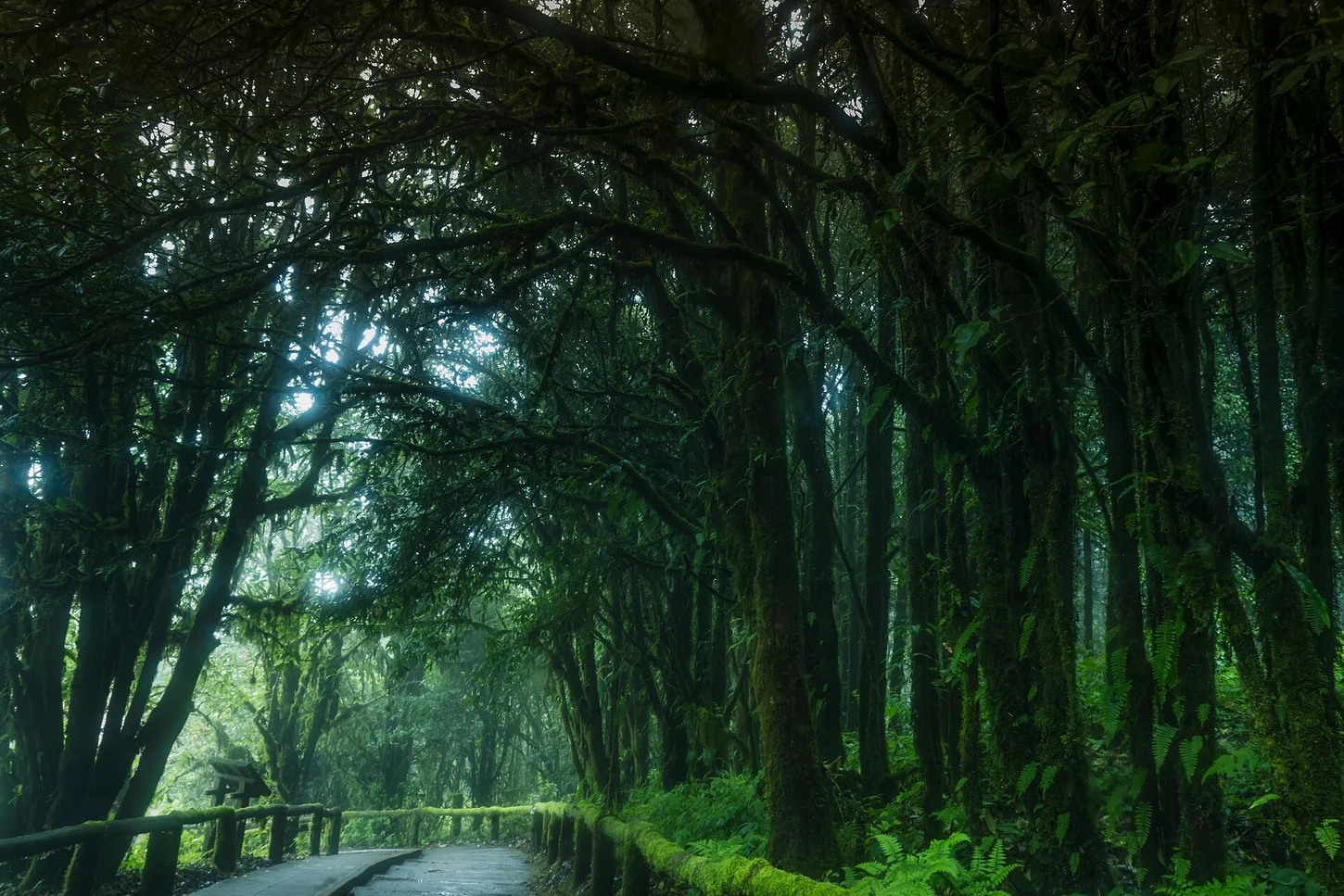
Ang Ka Luang is a shallow, waterlogged depression near the summit where moisture-laden air condenses as it rises over the range, sustaining a cool, mossy montane forest. Sphagnum moss and rhododendrons dominate the substrate and canopy margins. The Department of National Parks identifies Ang Ka Luang as habitat for the Ang Ka green-tailed sunbird.
Boardwalk and Park Establishment
The national park was established in Thai Buddhist Era 2515, corresponding to 1972. To allow study of Ang Ka Luang without damaging its sphagnum and root systems, the Department of National Parks developed an elevated boardwalk threading through the hollow, keeping foot traffic above the fragile substrate while enabling direct observation of the forest.