
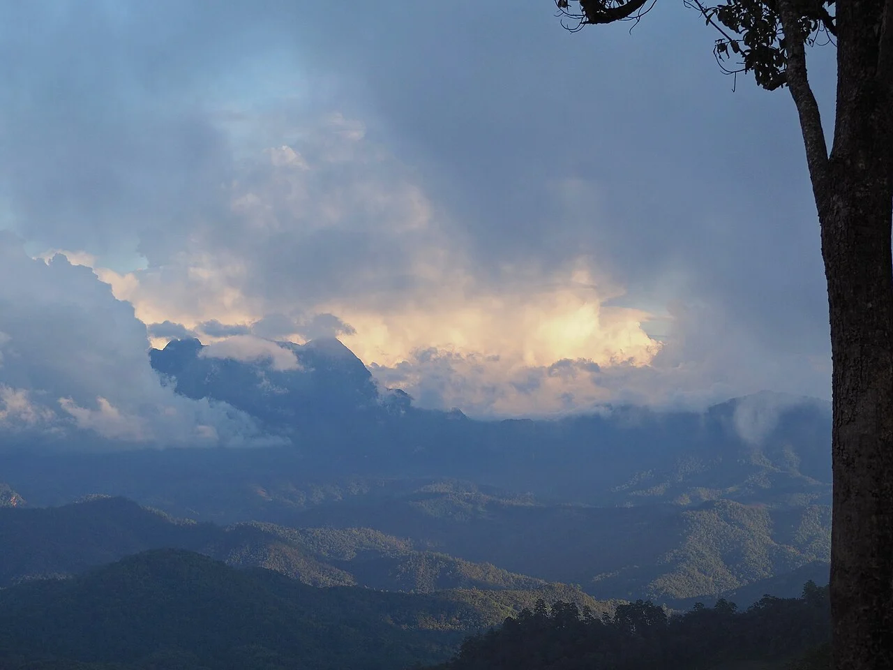
Karst Drainage and the Ping River Headwaters
Limestone geology has produced a terrain of ridges and sinkholes across the mountain's flanks. Beneath the surface, cave systems collect precipitation and channel it through hidden drainage networks that emerge as headwaters of the Ping River, connecting high-altitude rainfall to river systems across northern Thailand.
Subalpine Flora with Himalayan Connections
UNESCO describes the upper zone as supporting subalpine vegetation unique within Thailand, with biogeographic links to the Himalaya and southern China. Documented species include Impatiens chiangdaoensis, a balsam endemic named for the mountain, and Trachycarpus oreophilus, a high-altitude palm recorded on its upper ridges.
Biosphere Reserve and Muang Fai Water Management
In 2021, UNESCO admitted Doi Chiang Dao to its World Network of Biosphere Reserves, recognising Lisu, Karen, Hmong, Lahu, and Thai Lanna communities within its boundaries. These communities operate the Muang Fai system, a gravity-fed network of weirs and channels that distributes irrigation water across the mountain's lower terrain.