
Two Attributed Heights
Kerala forest sources, including an associated mapping application, record Doddabetta at 2,637 metres; the Nilgiris District administration cites 2,623 metres. Both figures derive from governmental sources and appear in authoritative records. Survey methods and reference datums have varied across the Western Ghats, and both values belong to any honest account of the summit.
Shola Forest and Grassland Mosaic
The Nilgiris District describes dense shola forest covering Doddabetta's immediate surroundings. Kerala forest publications document a broader pattern across the upper Western Ghats: shola stands, dense stunted evergreen woodland occupying sheltered hollows, alternate with open montane grasslands, forming a distinctive mosaic adapted to cool, mist-laden conditions at elevation.
Telescope House at the Summit
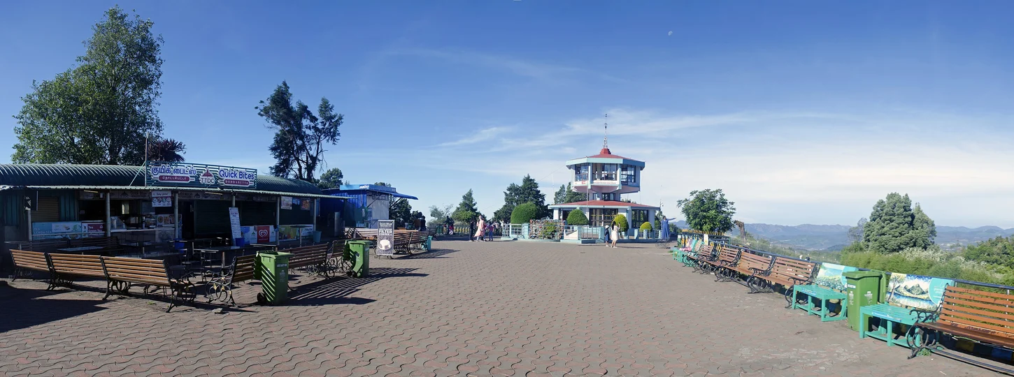
At the crest of Doddabetta stands Telescope House, a visitor facility operated by the Tamil Nadu Tourism Development Corporation. The Nilgiris District describes it as the principal amenity at the summit, positioned to offer panoramic views across the surrounding Nilgiri Hills and the wider Western Ghats upland where the two great peninsular ranges approach one another.