
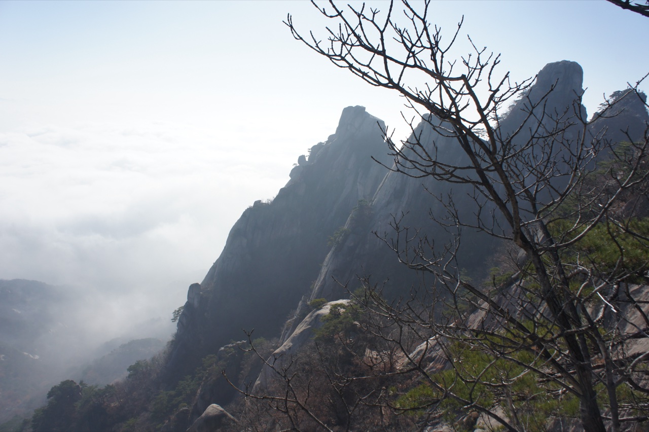
Uireong Pass and Bukhansan National Park
Between Dobong-san and Bukhan-san lies a mountain pass called Uireong Pass. This pass both topographically distinguishes the two mountains and serves as the boundary separating the two zones within the national park. When the national park was designated in 1983, Dobong-san and Bukhan-san were grouped together as a single park unit, a decision not unrelated to the fact that the two mountains share the common geological character of a granite landscape.
Bukhansan National Park occupies a distinctive position among Korea's national parks in that it directly borders a vast metropolitan area. Dobong-san functions as the park's northern anchor, with an access structure connected by ridge to Dobong-gu, Seoul.
Topography of granite peaks
The scenery of Dobong-san is dominated by a cluster of granite peaks. Centred on the highest summit, Jawunbong, the peaks of Seoninbong, Manjangbong, and Obong form the mountain's skyline. These summits arrived at their present form of vertical rock faces through prolonged weathering and erosion, which is also the topographic reason Dobong-san has long been regarded as a venue for rock climbing.
Wondobong Valley and Songchu Valley are each both an approach route into the mountain from a different direction and a space with its own distinct scenic context. Cheonchuksa and Mangwolsa temples likewise occupy different slope and valley conditions, demonstrating that the cultural landscape of Dobong-san has taken shape not along a single uniform axis but along multiple valley corridors.
The name Jawunbong
The Korea Forest Service uses the representative designation "Dobong-san (Jawunbong)" for the mountain. Jawunbong is both the name of Dobong-san's highest summit and an alternative name in common use for the mountain as a whole. Situated at the centre of the granite peak cluster alongside Seoninbong and Manjangbong, it is regarded as the peak that epitomises the topographic identity of Dobong-san.