
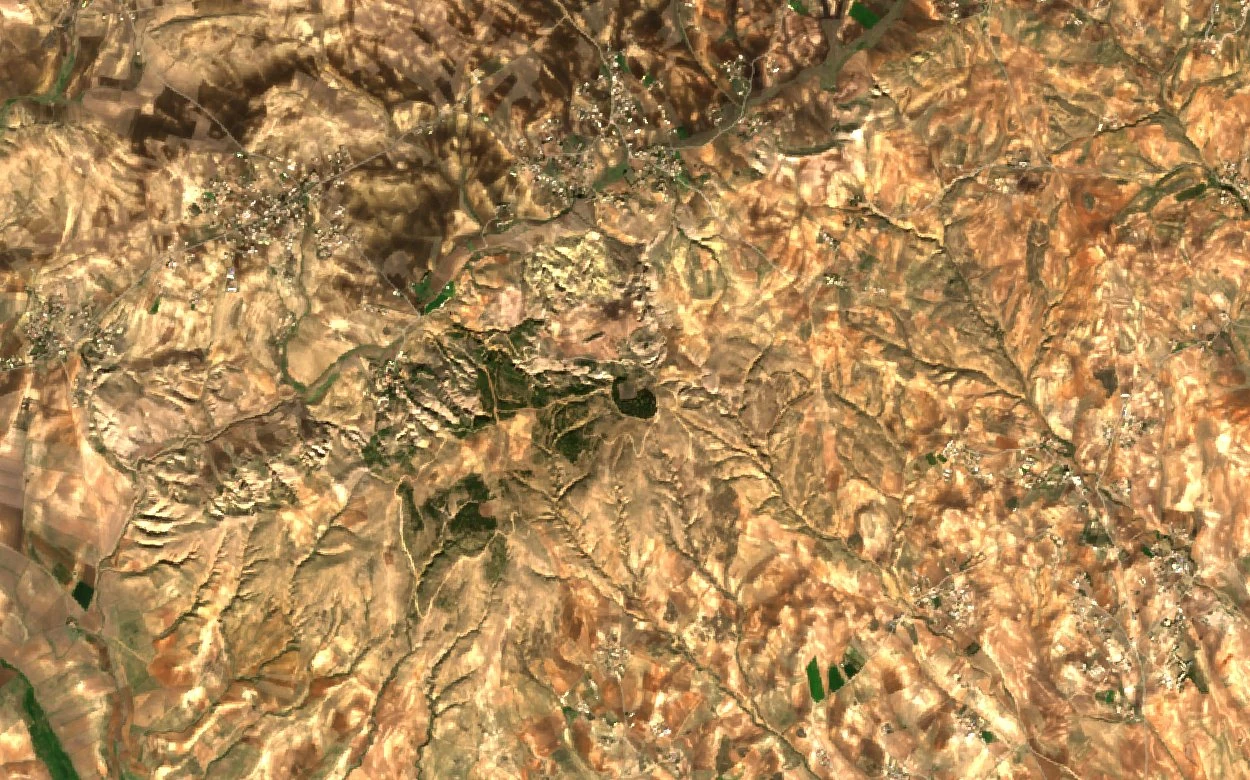
Position in the Upper Rhumel Basin
Djebel ed Dess occupies the western side of the Rhumel basin, with Djebel Grouz lying to its east. The US National Imagery and Mapping Agency gazetteer places it in this same western position, consistent with its role as a topographic boundary between the cultivated lowland and the rougher terrain beyond. The Copernicus 30 m digital elevation model confirms the abrupt relief separating the Bellaa crest from the adjacent plain.
Triassic Contacts Along the Durozoy Cross-Section
A northwest-to-southeast cross-section rooted in Durozoy's 1960 fieldwork runs from Djebel ed Dess past Chabet Berou and appears as Figure 8 in Abdelhamid Khedidja's 2016 hydrogeology thesis from the University of Batna. It shows late-Cretaceous and early-Eocene formations meeting Triassic material at sharp structural contacts, with gypsum- and salt-bearing red clays — older strata — rising through younger units. Within the same broad Triassic exposures at Djebel ed Dess, Houssam Boukerne and Samir Zelouache of the University Centre of Mila identified a small green-rock outcrop in their study of the Oued Souagui.
Carbonate Flanks as a Groundwater Recharge Zone
Khedidja's mapping of groundwater levels from May 2007 showed principal west-to-east flow through the Tadjenanet–Chelghoum Laïd basin, running broadly in the same direction as the surface Rhumel. His study identified the carbonate formations flanking the basin — among them the Eocene units at Djebel ed Dess and at Draa Mestaoua — as major recharge areas, meaning they are zones where rainfall and runoff filter down to replenish underground water reserves. Measured levels shifted with seasonal conditions and pumping activity across the period examined.