
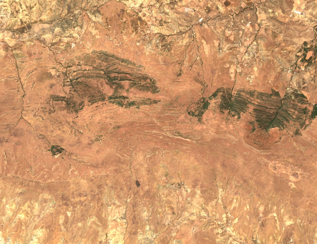
Fold Structure and Opposing Drainage
Research from the École Nationale Polytechnique places Sour El Ghozlane within a syncline associated with the Dirah massif. This folded structure separates river basins that drain in opposing directions, with valleys on the western flank feeding into the broader Upper Isser catchment. A University of Constantine hydrology study of that catchment identifies the Dirah summit as a high point on the Bibans watershed divide.
Position on the Bibans Watershed
The Upper Isser basin inventory carried out at the University of Constantine treats Djebel Dirah as a defining high point in its drainage geometry. The basin figures in that research describe the Upper Isser system as a whole and do not apply to the mountain crest alone. The summit coordinates fix Dirah within the central Tell Atlas, well south of Kabylie and north of the pre-steppe transition zone.
Forest Cover and Reforestation
Reporting by La Dépêche de Kabylie documents forest service activity in the Dirah area and records large reforestation works carried out on adjacent pre-steppe lands during the 1970s and 1980s. That programme was regional in scope. The local forest service has maintained a presence near Dirah, with brigade infrastructure reported at Taguedit and Dirah specifically.