
Four Centuries of Fire Events at Oued Tider
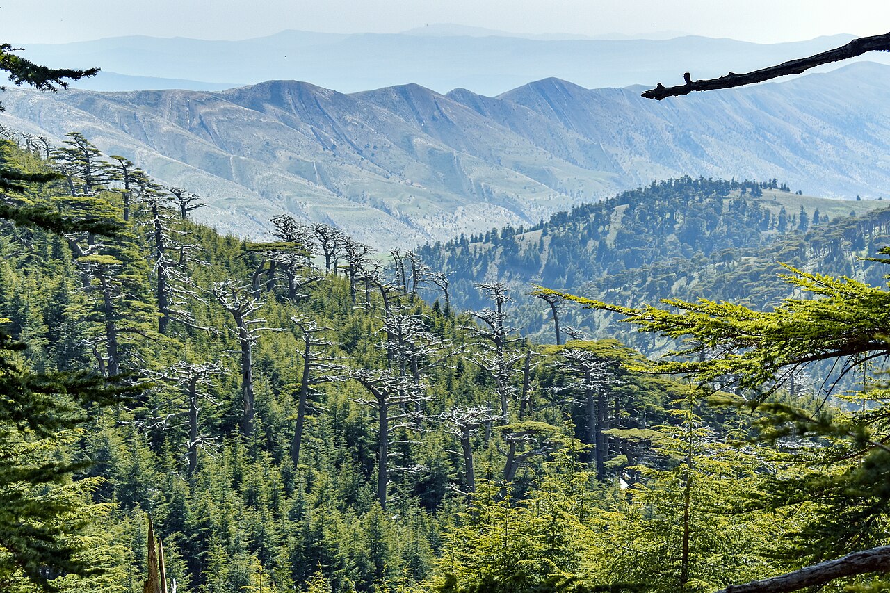
A 2014 study published in the Journal of Arid Environments reconstructed fire activity from cedar tree-ring scars at two sites on Chélia, Oued Tider and Thniet Zemroune. At Oued Tider, researchers identified 57 fire scars corresponding to 48 discrete fire events dated between 1523 and 1928. The same study recorded 50 fire scars corresponding to 47 fire events at Thniet Zemroune, with a chronology extending from 1349 to 1893.
Cedar Growth Responses Across Chélia and Belezma
A 2021 cedar growth study from the University of Batna sampled stands at both Chélia and Belezma. The authors found a stronger positive response to annual rainfall at Belezma and suggested that the deeper soils present at high-elevation Chélia sites may offer trees a degree of moisture buffering, though the authors framed this interpretation as a working hypothesis rather than a confirmed mechanism.
Position Within the Aurès Highland Massif
The two fire chronologies from the 2014 study differ in both length and elevation. The Thniet Zemroune record, spanning 1349 to 1893, is the longer of the two and was collected at a site whose topographic position the authors treated as representative of a distinct sampling stratum from Oued Tider. The separation between sites allowed the researchers to examine whether fire history varied across the mountain's upper cedar zone rather than treating Chélia as a single uniform stand.