
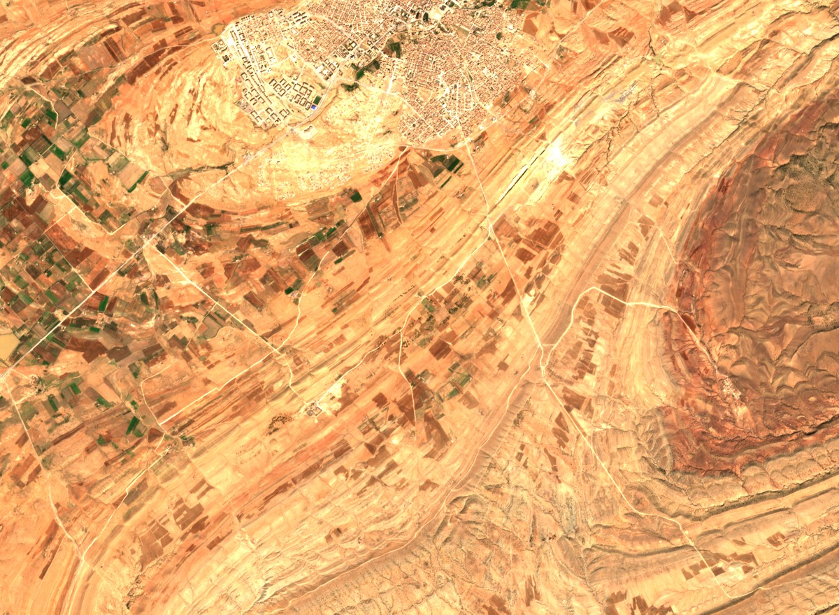
Structure and High Points
CNES geospatial analysis describes the Aflou sector as a series of folded ridges separated by depressions, with limestone and sandstone exposed along anticline crests. A named high point, Touïlet Makna, is documented at 1,977 m within the range. The western boundary of Djebel Amour is debated in the academic literature: the University of Annaba field geology record notes that whether Djebel Ksel, surveyed at 2,008 m, belongs to the range depends on which boundary definition is applied, and no single highest point is asserted for the range as a whole. Rock deposition within the range spans distinct geological periods, separate from the later tectonic events that produced the folded relief.
Basin and Settlement
CNES records describe how the Aflou basin interrupts the ridge sequence and has historically structured the relationship between seasonal upland pastures and valley settlement. The basin floor separates several of the principal ridges, and village establishment in the area is documented in connection with this geography. The CNES analysis frames this as a landscape where pastoralism and sedentarization are ongoing processes shaped by the alternation of ridge and basin terrain.
Rock Carvings at Kef El Haouli
A 2023 field report catalogued through CERIST documents carved surfaces and a cave near Oued Morra at a site called Kef El Haouli within the Djebel Amour region. The report records this as a single documented site in the landscape and does not assign an independent date to the carvings. The site adds an archaeological dimension to a range otherwise characterized primarily by its folded geology and pastoral land use.