
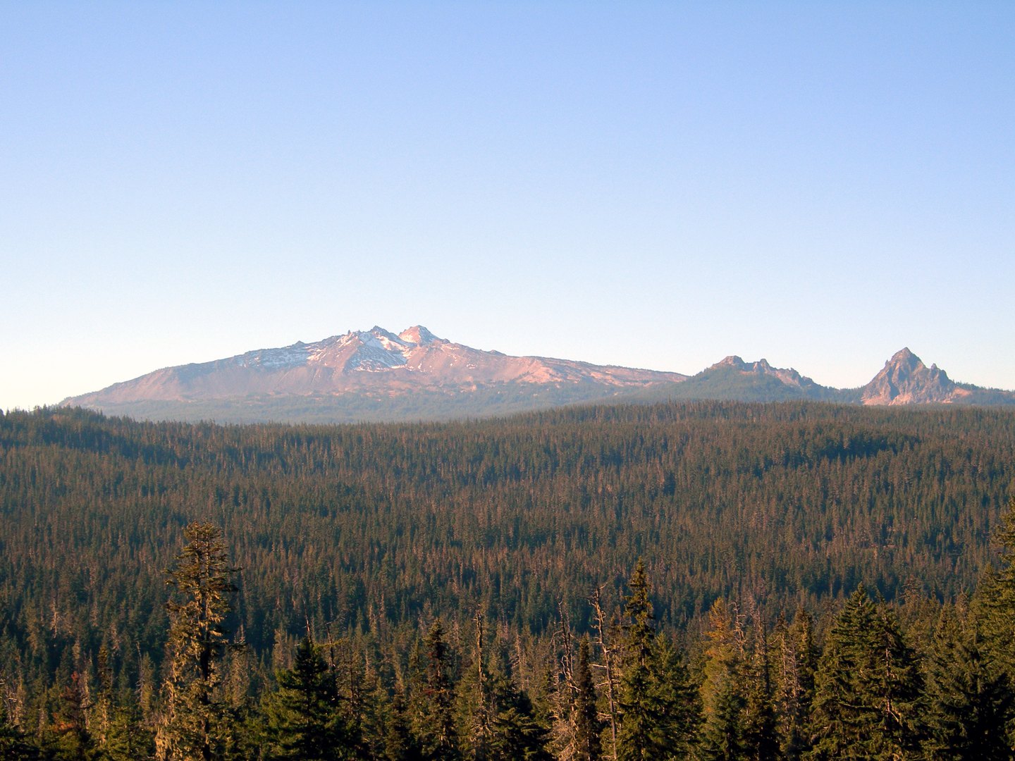
Volcanic Structure and Age
Diamond Peak's underlying form is a broad shield constructed from basaltic-andesite eruptions, with a pyroclastic cone forming the summit cap at 2,665 meters. The Smithsonian Institution's Global Volcanism Program places the mountain's volcanism within approximately the last 100,000 years, with that activity preceding the local glacial episode described in its summary. The precise timing of the most recent eruption is not established, and the full age of the edifice should be understood as an estimate rather than a fixed date.
Landscape Carved by Ice
Glaciation substantially reshaped Diamond Peak after its volcanic construction. As glaciers retreated, they left small lakes around the peak's flanks and the high snowfields that Oregon's state travel organization describes in the surrounding terrain. These snowfields and lake basins are distinct from active flowing glaciers and reflect a landscape still bearing the imprint of the last glacial episode.
Neighboring Features and Wilderness Context
Mount Yoran, an older and separate shield volcano, lies to the north-northeast of Diamond Peak. To the south, Diamond Rockpile and Crater Butte are cinder cones that extend the volcanic terrain beyond the main summit. The Diamond Peak Wilderness, administered by the U.S. Forest Service, spans portions of both the Deschutes and Willamette national forests, placing the shield volcano and its surrounding glacial lakes within a single mapped wilderness area along the Cascades crest.