
Triangulation and Visibility
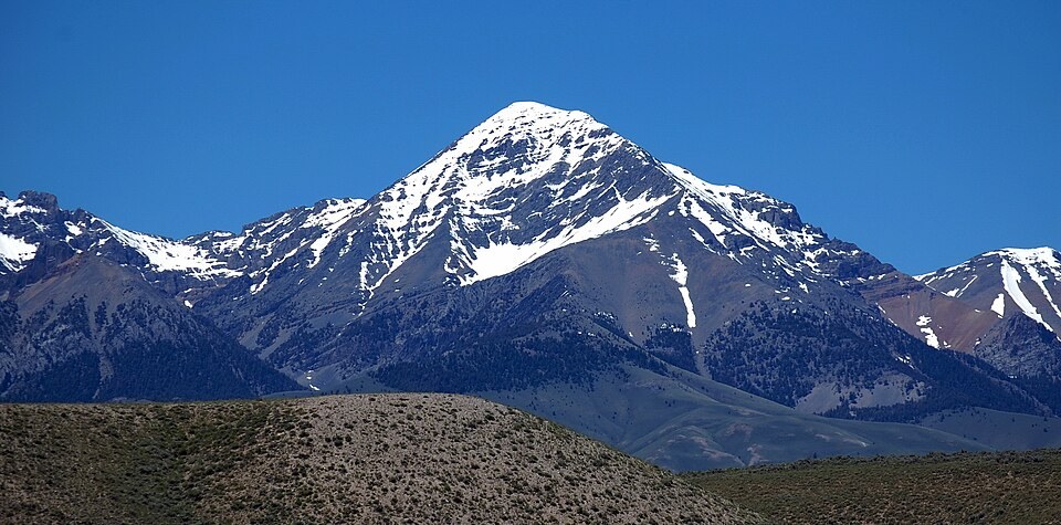
Early USGS triangulation work identified Diamond Peak as a conspicuous station, its sharp profile making it readily identifiable from distant survey points. A distinctive, prominent summit served a practical purpose in triangulation, allowing surveyors to fix positions across wide stretches of the central Idaho ranges.
Contrasting Valley Sides
USGS geological reporting describes the Lemhi Range as asymmetrical in its drainage. Stream cuts on the eastern flank facing Birch Creek are steep and deeply incised, while valleys on the western side are longer and less regular in form. The main high ridge retains broad remnants of older, more subdued surfaces above these dissected flanks.
The Range Crest
Diamond Peak's position at the apex of the Lemhi Range places it at the convergence of these contrasting landscapes. The sharp summit form noted by surveyors reflects the narrow, well-defined crest that characterises this portion of the range, distinct from the more eroded terrain lower on either side.