
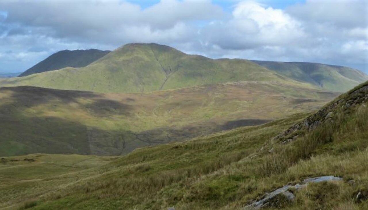
Landscape and Setting
The mountain rises within the Galway–Mayo uplands, its ridge forming a substantial part of the eastern skyline above Killary Harbour. Its position between Killary Harbour and Lough Nafooey gives it a geographical distinctness within a landscape shaped by deep glacial valleys and exposed ridges.
Place-Name and Map History
Two distinct Irish-language names are recorded for the peak. The official Placenames Database of Ireland, Logainm, gives Magairlí an Deamhain. The place-name researcher Paul Tempan cites a separate form, Binn Gharbh, meaning rough peak, recorded as Ben Garrif on William Bald's 1830 map. Tempan notes that the Magairlí name may once have referred specifically to the knobbly north spur.
The Northern Ravine and Radula holtii
A field survey conducted by the National Parks and Wildlife Service documents sightings of the liverwort Radula holtii in a deep ravine on the northern ridge. A report dated 16 August 2002 is cited in the NPWS species assessment. The survey records colonies growing on wet or shaded rock within the ravine, conditions that this Atlantic liverwort requires.