
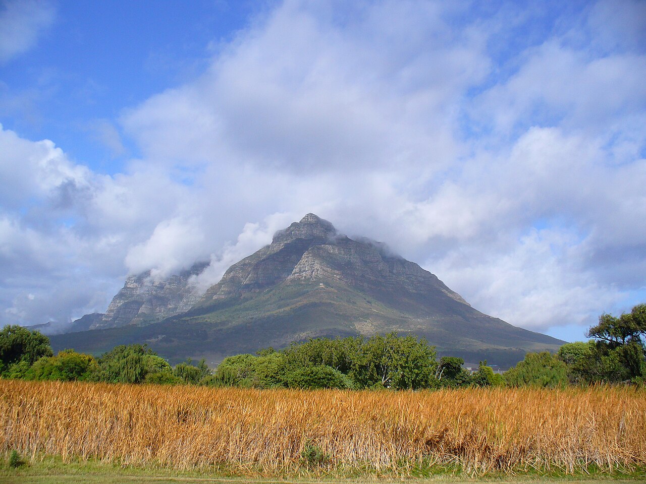
Geology
UCT documents that the sandstone layers forming Devil's Peak, Table Mountain, and Lion's Head were formerly continuous and were subsequently separated by erosion. Each of the three peaks retains sandstone at its upper elevations, preserving the same rock type across summits that erosion has shaped into distinct landforms.
Blockhouses on the Lower Slopes
Following the British capture of the Cape in 1795, three blockhouses were built on the slopes of Devil's Peak: the King's, Queen's, and Prince of Wales Blockhouses. SANParks records that of the three, only the King's Blockhouse has survived intact.
King's Blockhouse
The King's Blockhouse is a stone structure standing on sandstone bedrock on the lower slopes of Devil's Peak. Its position commands views across Table Bay to the north and False Bay to the south, and the structure was used for signalling and surveillance across the Peninsula. The King's Blockhouse was declared a National Monument in 1938.