
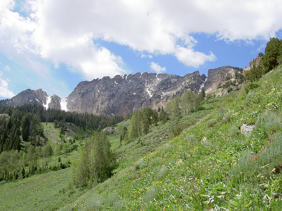
A Range Shaped by Folded Rock and Canyon Cutting
The Utah Geological Survey maps Paleozoic sedimentary rocks folded into the Deseret anticline, a named structural feature running north to south through the range. The folding of those ancient beds records a compressional episode, while the canyon erosion that has since dissected the flanks of the peak represents a separate, later phase in the landscape's history.
From Forest Reserve to Wilderness
President Theodore Roosevelt established the Grantsville Forest Reserve on May 7, 1904, through Presidential Proclamation 525, bringing uplands in the area under federal administration. That reserve was subsequently reorganized under evolving land management structures, and in 1984 Congress passed separate legislation designating the Deseret Peak Wilderness, a distinct legal status carrying different protections than the earlier forest reserve administration.
The Stansbury Mountains High Point
The Stansbury Mountains form an isolated basin-and-range uplift in Tooele County, set apart from the Wasatch by intervening valley floors. The Utah Geological Survey's large-scale mapping of the Deseret Peak East quadrangle provides the authoritative summit elevation figure used in state geologic survey records, confirming the peak's position as the high point of the range.