
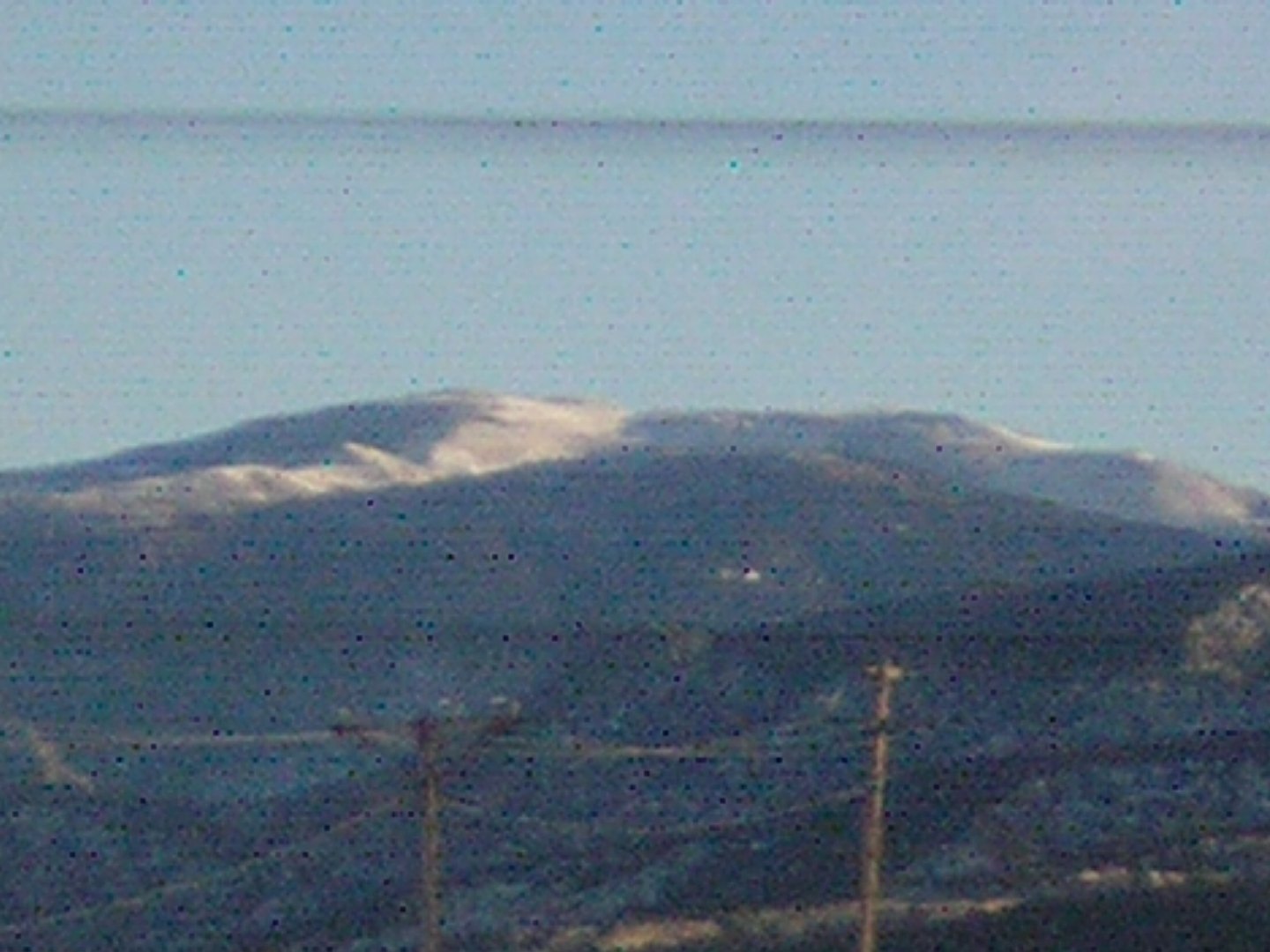
A Name from the Grant Era
According to the U.S. Board on Geographic Names, Delano Peak takes its name from Columbus Delano, who served as Secretary of the Interior during the administration of President Ulysses S. Grant. The GNIS record documents this naming decision without indicating that Delano ever traveled to the mountain or the surrounding range. The peak's coordinates place it in the Tushar Mountains of central Utah.
Volcanic Field Setting
USGS geologic mapping situates the Tushar Mountains within the Marysvale volcanic field, a broad region of volcanic and hydrothermal activity in central Utah. The western and southern portions of the range preserve rocks from multiple distinct phases of volcanism and later mineralization. The dedicated geologic quadrangle for the Delano Peak area maps specific deposits and landforms in the mountain's immediate vicinity, distinguishing units from older volcanic episodes from those shaped by subsequent erosion.
Erosional Character
The Delano Peak quadrangle records a landscape where products of earlier volcanism have been reworked by erosion into the terrain visible today. The geologic record for this part of the Tushars does not support characterizing Delano Peak itself as an individual dormant or extinct volcanic structure. It is more accurately understood as the high point of a range whose form reflects both volcanic activity and prolonged erosion acting across the broader region.