
Terrain and Geology
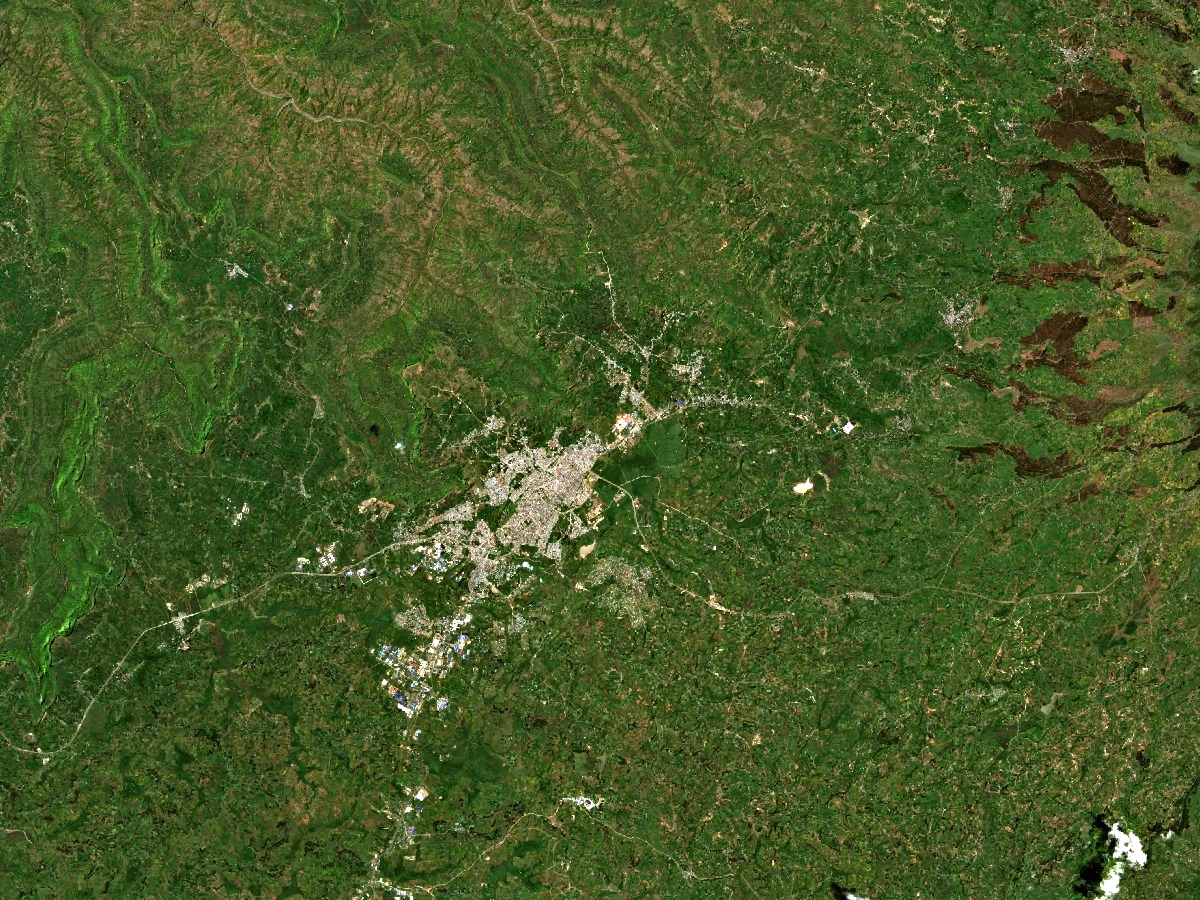
The International Livestock Centre for Africa recorded elevations of about 2,600 to 3,000 metres across its study area around Debre Berhan. At its station, around 2,800 metres, researchers described poorly draining, clay-rich Vertisols. A 2023 Ethiopian government study identifies Cenozoic volcanic rocks, including basalt and ignimbrite. Ignimbrite forms from hot ash and other volcanic debris. The same study traces the Beressa River as it flows from southeast to northwest through the town.
A Royal Foundation and Its Chronicle
The court chronicle of the 15th-century Ethiopian king Zar’a Yaqob recounts an apparition of light. It says the king named a church Dabra Berhan in its memory and made his residence there. A copy of the chronicle is preserved as Bodleian Bruce 88. Jules Perruchon published an edition in 1893. Historian Richard Pankhurst suggested that the reported light might have been the comet seen in 1456.
Plateau Farming and Water Research
In late 1978 three local associations provided 280 hectares for agricultural research near Debre Berhan. In a separate project between December 1984 and March 1985, two farming associations built ponds to collect runoff. Abiye Astatke and his colleagues reported capacities of 9,500 and 8,700 cubic metres. Oxen drew a single-point plough called a maresha to loosen the soil, then pulled scoops to remove it.