
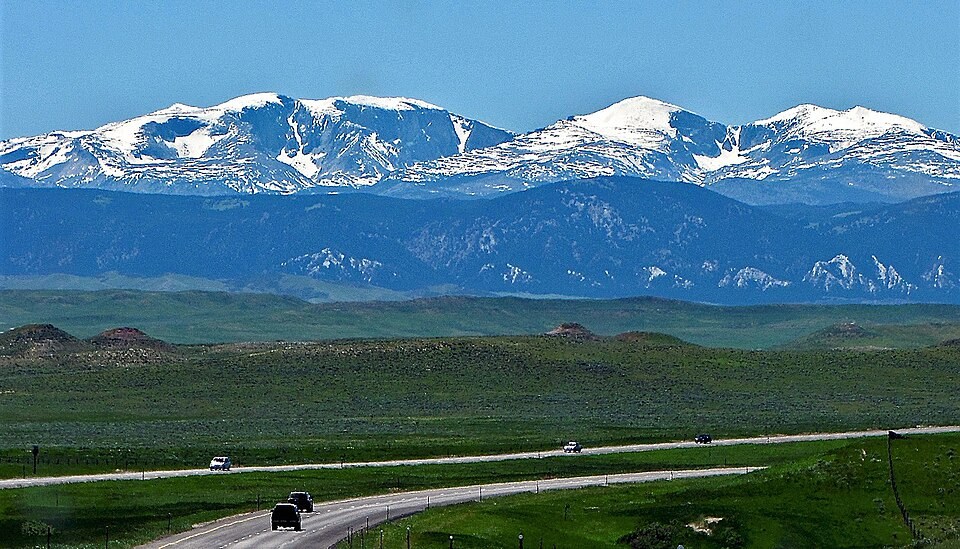
Topographic Setting
The Lake Angeline quadrangle places Darton Peak near several small lakes — Ringbone, Martin, Romeo, and Sheard — in the headwater zone of the high crest. A Bureau of Land Management educational skyline interpretation labels Darton and Bighorn peaks as distinct summits. The lidar elevation of 12,296 ft rounds to about 3,750 m.
N. H. Darton and the Range's Geology
N. H. Darton's 1906 U.S. Geological Survey report examined the central high Bighorns, documenting the range's uplift, the erosional exposure of ancient crystalline rocks, and the evidence of glaciation across the high terrain. The peak shares Darton's name, though the official record does not confirm who first assigned it or when.
Cloud Peak Wilderness
Darton Peak falls within the Cloud Peak Wilderness, created by the Wyoming Wilderness Act of 1984. Its position on the main high crest, amid the lake-dotted headwater basins of the southern Bighorns, places it among the more remote summits in that protected zone.