
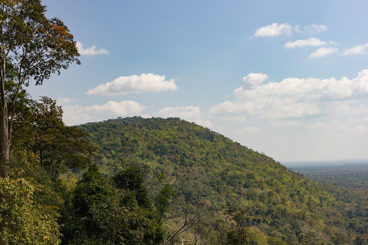
Plateau Edge and Escarpment Topography
The Cambodian Ministry of Environment describes typical elevations around 500 metres, with higher points exceeding 700 metres in sections of the ridge. The steep southern face drops toward the Cambodian lowlands and the Tonle Sap basin. The regional survey by the Institut de recherche pour le développement traces the escarpment for more than 300 kilometres, running broadly west to east.
At intervals, promontories project southward from the main ridge. The 2017 photograph looks west from the Don Tuan Khmer ruins in Khao Phra Wihan National Park and shows a wooded headland standing above the Cambodian plain. The Temple of Preah Vihear occupies another promontory along the range.
Sandstone Geology and the Preah Vihear Formation
In 2017, Etsuo Uchida and colleagues examined the sandstone blocks of the Preah Vihear temple. Chemical analysis, magnetic measurements and architectural observations linked the stone to the local Preah Vihear Formation, which includes ancient quarry sites near the temple causeway. The team proposed five construction stages by comparing block sizes, composition, masonry and decoration with evidence from inscriptions.
The Preah Vihear Temple and Its Khmer Origins
UNESCO traces the site to a ninth-century hermitage and dates much of the surviving temple to the first half of the eleventh century. Dedicated to Shiva, the complex is organised along an approach about 800 metres long. Its gateways, sanctuaries and stepped pavements follow the natural incline of the promontory toward the cliff edge. The temple property joined the World Heritage List in 2008.
In 1962 the International Court of Justice ruled that the Temple of Preah Vihear was situated in territory under Cambodian sovereignty. Its 2013 judgment clarified that the earlier decision concerned the whole promontory as defined by the Court.
Names, Boundaries, and Regional Identity
The Permanent Committee on Geographical Names records Dangrek Mountains in English, Chuŏr Phnum Dângrêk in Khmer and Thio Khao Phanom Dongrak in Thai. The range forms part of the frontier, and the international boundary diverges from the watershed in places.