
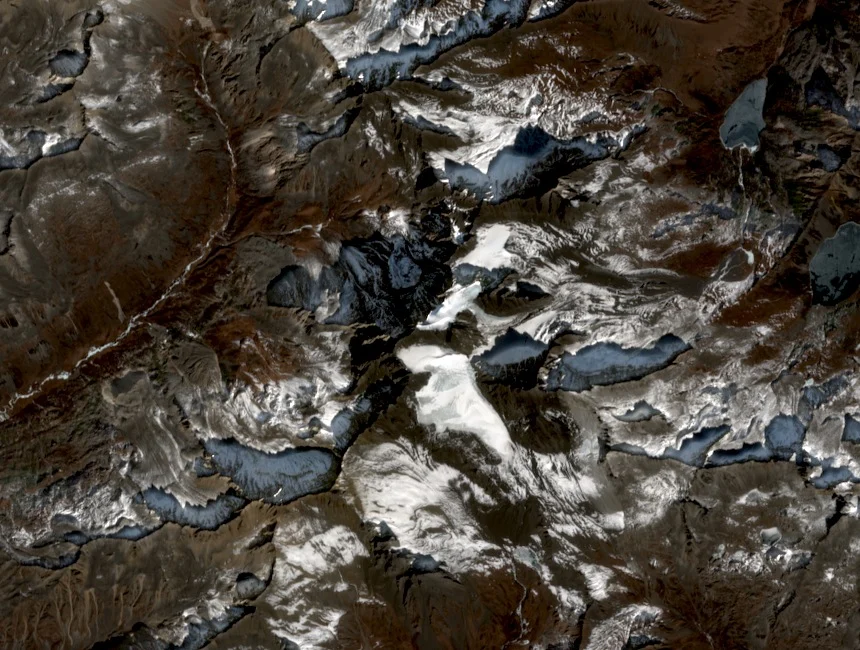
Glaciated Ridges, Forests, and Alpine Lakes
The Dangling massif combines glaciated upper ridges with forested lower terrain across the Danba–Daofu border zone. The Danba County archive identifies both forests and glaciated elevations as defining features of the area. Huluhai is glacially fed per county record, and Zhuoyongcuo is among the additional high lakes within the massif terrain.
Xiaqiangnie'a Pass and the 1936 Red Army Crossing
Xiaqiangnie'a Pass, at 4,810 metres, cuts through the massif connecting Danba and Daofu territory. The Danba County historical archive records that an advance party of the Red Army led by Liu Bocheng crossed the pass on 28 February 1936. The headquarters traversed the same pass in a separate crossing and reached Daofu on 15 March 1936.
Logistical Preparation in Xu Xiangqian's Memoir
Xu Xiangqian's memoir details the preparation for the winter traverse of Xiaqiangnie'a Pass: straw shoes, iron foot grips for traction on ice and frozen ground, warm layers, and adequate supplies against the cold. These specifics from the historical record document the calculated approach to crossing 4,810-metre terrain in late February.