
Juniperus procera Woodland Documented by IUCN Fieldwork
An IUCN field team that visited Daallo in 2010 recorded it as the most extensive remnant of Juniperus procera woodland among the sites assessed during that survey. The trees occupy the upper escarpment and plateau edge, where orographic cloud and cooler temperatures create conditions distinct from the drier slopes below. FAO SWALIM forest monitoring of the Golis Mountains describes an association between the juniper canopy and Olea species across the transitional zone.
Escarpment Terrain and Slope Transitions
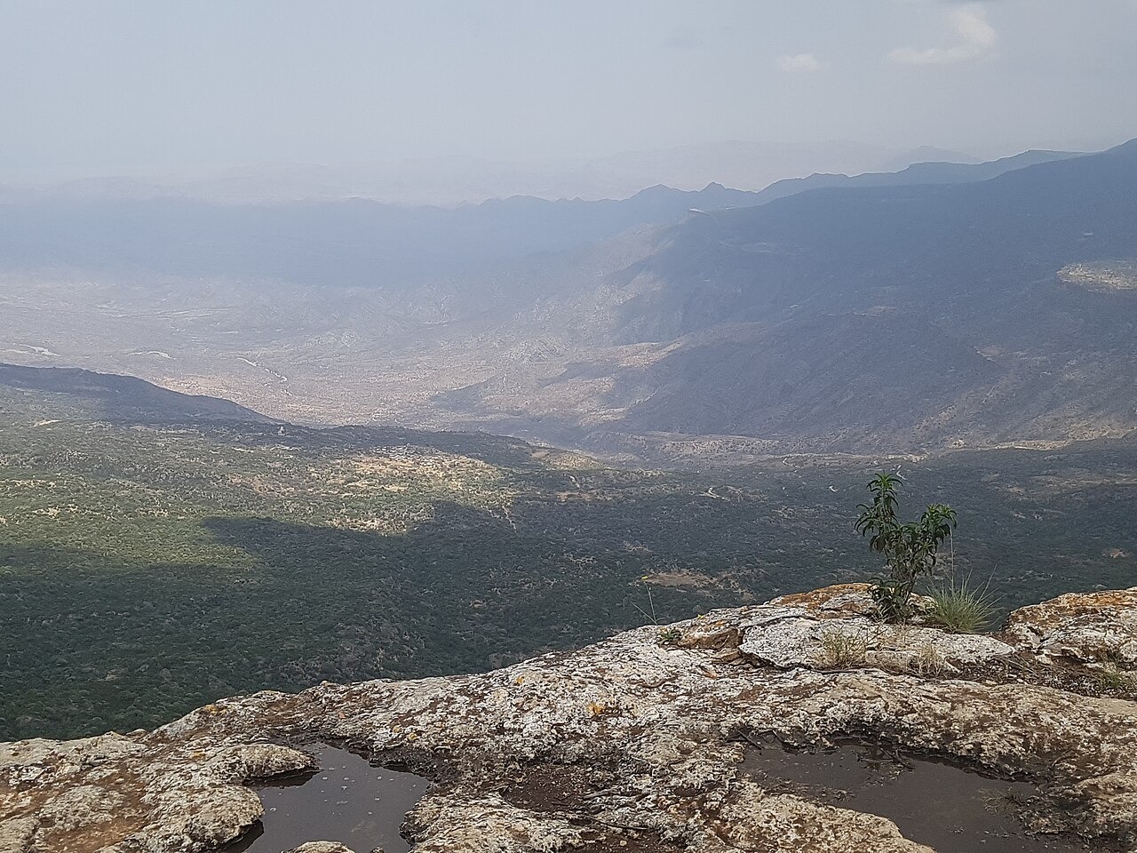
The escarpment presents a sharp vertical break in landscape character, with exposed rocky faces giving way to woodland patches on the plateau surface. FAO patch mapping of the Golis range documents the uneven distribution of forest cover across this terrain, reflecting the influence of aspect, elevation, and soil depth on vegetation. The cliff faces and boulder fields visible along the escarpment edge are a prominent feature of the landscape IGAD geographic inventory records for the northern Golis sector.
Local Names and Field Observations
Field contributors reporting through Nature Somaliland have documented the Daallo woodland and its escarpment setting using ground-level observation, noting the character of the forest canopy and the landscape transitions visible from the plateau rim. The site carries recognised local names within Sanaag that reflect its long presence in the region. These field accounts complement the institutional surveys and provide detail on observable conditions at the escarpment top.