
Position on the Southern Crest
The Romanian Environment Ministry distinguishes two main east–west crests across the high Retezat massif. Vârful Custura stands on the southern of these crests, connected by a ridge running from Vârful Păpușa at 2,508 m down through Șaua Custurii to the Custura summit.
Glacial Cirques and the Tăurile Custurii Lakes
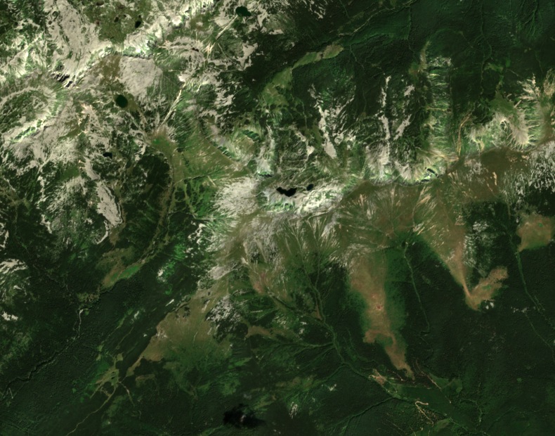
Rocky glacial cirques and moraines mark the high Retezat massif, reflecting sustained past glaciation across its peaks and hollows. Below Custura, the topographic guide Munții Noștri identifies Tăurile Custurii as a set of glacial lakes occupying the hollow beneath the summit. The largest of these, Tăul Custura Mare, sits at 2,190 m, roughly 267 m below the crest.
Ridge Landmarks and Crest Relationships
Păpușa Custurii, recorded at 2,209 m in the local cartographic guide, is a distinct landmark on the crest system and a separate ridge top from Vârful Păpușa. Șaua Custurii is a distinct topographic point on the connecting ridge. Custura is the high point of the southern crest. The park's records also list Vârful Retezat as a named summit at 2,482 m within the same national park.