
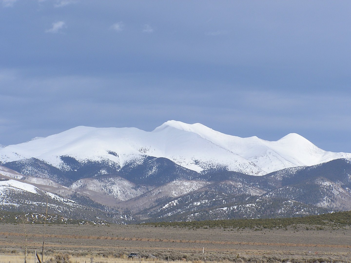
Ancient Rocks Along the Range Crest
USGS geologic mapping documents strongly foliated gneiss among ancient crystalline rocks exposed along the wider range crest, with later granitic intrusions present and sedimentary strata to the east. This geological sequence is documented at the scale of the full Culebra Range and is not attributed to the summit alone.
La Sierra and the 1844 Land Grant
The Chicano and Latino History Project places Culebra Peak within La Sierra, a mountain tract also known as Taylor Ranch and Cielo Vista Ranch. That land is associated with the Sangre de Cristo land grant, issued in 1844 when the region was part of Mexico, and the grant shaped the legal and cultural identity of the surrounding area for communities that followed.
The Lobato v. Taylor Decision
In its 2002 ruling in Lobato v. Taylor, the Colorado Supreme Court recognized historical grazing, firewood, and timber access rights for qualifying local landowners whose predecessors had used the tract under terms traceable to the original land grant. The court's findings turned on documented historical use by those qualifying heirs and their connection to the grant's origins.