
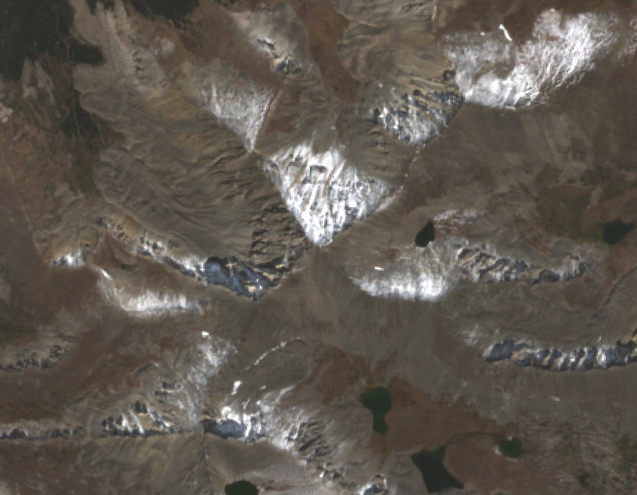
Crystal Lakes Basin
The 1970 USGS Breckenridge quadrangle positions Crystal Peak between Peak 10 to the north and Pacific Peak to the south, with Upper and Lower Crystal Lakes stepping down the eastern drainage. A 2025 photograph confirms the two pools east of the crest at successively lower elevations, shaped by glacial erosion. These lakes are distinct from Pacific Tarn, which lies farther south above the Pacific Peak cirque.
Precambrian Geology
A 1960 USGS regional study identified a belt of Precambrian granulite, gneiss, and migmatite along the Tenmile crest and upper slopes, intruded by granitic rock. Crystal Peak sits within that mapped belt, where closely juxtaposed metamorphic and intrusive bands reflect a complex deep-crustal history.
Monument Context and Ute History
Presidential Proclamation 10476 of 2022 includes Crystal Peak's terrain within the Tenmile section of the Camp Hale–Continental Divide National Monument. The proclamation records the Tenmile Range as a landscape of long Ute use, followed by forced land loss formalized through the 1873 Brunot Agreement and an 1880 Congressional act, and later alpine conservation.