
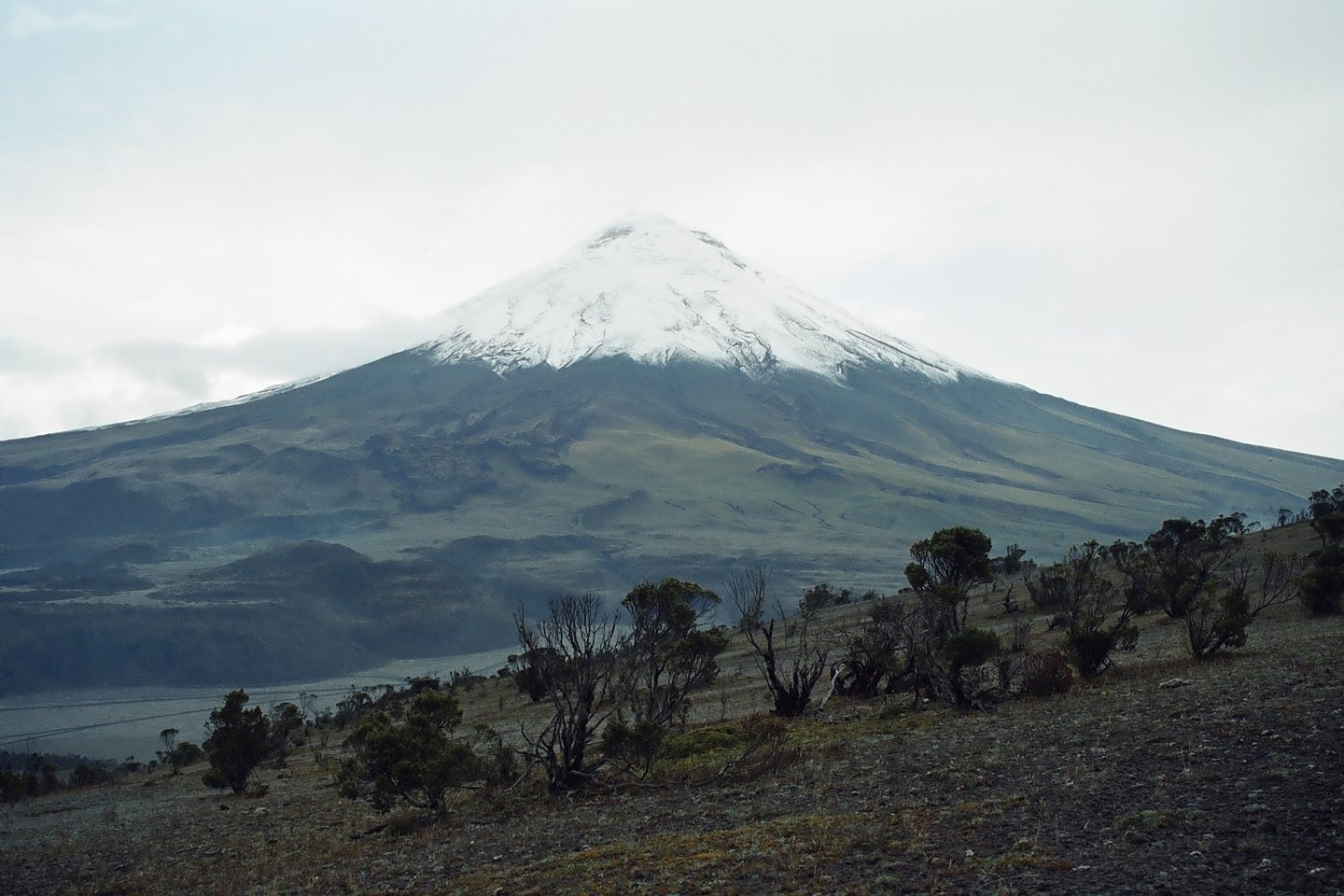
Geometry of a stratovolcano
The Instituto Geofísico de la Escuela Politécnica Nacional (IG-EPN) describes Cotopaxi as a large stratovolcano integrated into the Cordillera Real of Ecuador, with an elevation of 5,897 metres. Its characteristic morphology — conical flanks regularised by successive eruptions — is crowned by a permanent glacial ice cap. It is precisely the relationship between that glacier and eruptive episodes that gives Cotopaxi a particular hazard dynamic.
The communities and valleys situated downstream of its flanks form an integral part of the volcanic hazard geography described by the IG-EPN. The various drainage systems that depart from the summit point in very different directions, meaning that the exposed zones are not uniform: according to the IG-EPN hazard reports, each basin drains with differing exposure depending on the direction of flows and valley topography.
The 1877 eruption: fire, ice and lahars
On 26 June 1877, Cotopaxi was the site of one of the most documented eruptive episodes in its history. According to the IG-EPN's historical account, based on contemporary observers, hot pyroclastic currents crossed the glacial ice cap, melted part of the ice and triggered large mudflows that followed the descending valleys. It is important to distinguish the three chained phenomena: pyroclastic currents — mixtures of gas, ash and solid fragments at high temperature —, lahars — flows of volcanic mud and water — and ashfall, which the IG-EPN treats as differentiated processes with distinct reaches and effects.
The mechanism described in 1877 illustrates a dynamic that the IG-EPN also applies to future scenarios: rock fragments, ash and pumice can mix with water from precipitation or partial melting of the ice cap to generate far-reaching lahars. The direction these flows take depends on the topography of each basin, which is why the IG-EPN volcanic hazard map differentiates exposure zones according to whether drainage runs to the east or west of the volcano.
The glacial ice cap as a geological factor
The ice of Cotopaxi is not merely a scenic feature: it is an active element in the chain of processes that the IG-EPN studies to assess volcanic hazard. During an eruption, the thermal energy released can melt sectors of the ice cap within minutes, incorporating large volumes of water into pyroclastic flows and transforming them into high-density lahars with great erosive power.
The hazard map report zones the territory according to drainage direction, recognising that exposure is not homogeneous around the volcano. Some basins channel flows towards densely populated areas; others run through areas with lower human concentration. This spatial differentiation is one of the central axes of the risk analysis that the IG-EPN has developed for Cotopaxi.
Monitoring and knowledge of the territory
The IG-EPN maintains continuous surveillance of Cotopaxi as part of its national volcanic monitoring network. The production of hazard maps — such as the one published for the eastern zone in 2017 — responds to the need to translate geological knowledge into a territorial representation that can be used by authorities and communities. These documents do not describe a specific state of activity, but rather the possible scenarios derived from the volcano's historical behaviour and known dynamics.
The eruptive history of Cotopaxi, with events such as the 1877 eruption recorded in detail by contemporary observers, provides the IG-EPN with an empirical basis for calibrating flow and reach models. The combination of that historical record with modern instrumentation makes Cotopaxi one of the best-studied volcanoes in South America, and a reference case for volcanology applied to glacier-bearing environments.