
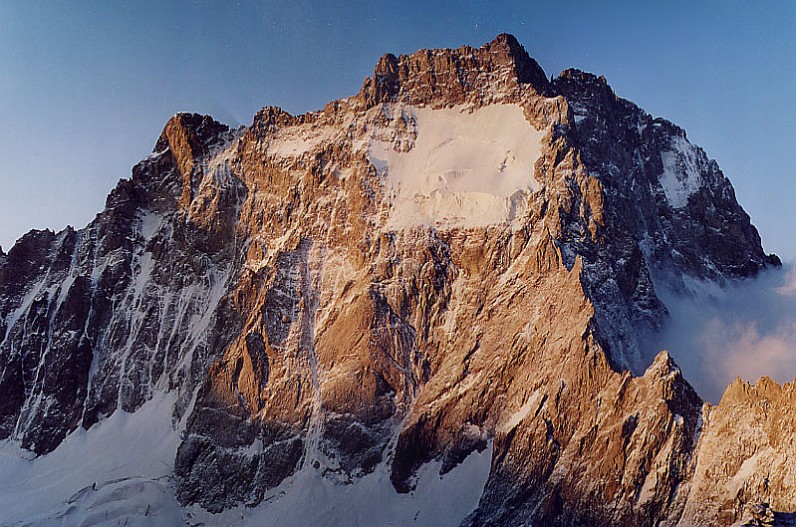
Rock and ice beside the ridge
Geologist Maurice Gidon maps amphibole-bearing gneiss in Ailefroide’s higher peaks and a locally named granite lower on the massif. Glacier Noir takes its dark surface from the rock fragments it carries, according to the park’s geology inventory.
First Recorded Ascent of the Ridge
On 1 July 1913, Angelo Dibona of Cortina and Guido Mayer made the first recorded ascent of the ridge. Roderon and Pierre Rodier carried equipment to the overnight camp near the col. Mayer recalled reaching the central summit at 4:30 p.m., twelve hours after he and Dibona began climbing. The central summit had been reached by another route in 1889.
The Alpine Journal published Mayer’s account with a north-face photograph by Vittorio Sella and a line marking the approximate route. The Sella archive also holds a panorama he took from Pic Coolidge on 11 August 1888.
Roch's 1933 Ascent
When André Roch and Gréloz climbed the ridge in 1933, they heard rockfall in the gullies above the Tour du Géant. Roch’s account from the following year describes how the pair chose to climb the reddish wall beside the gullies.