
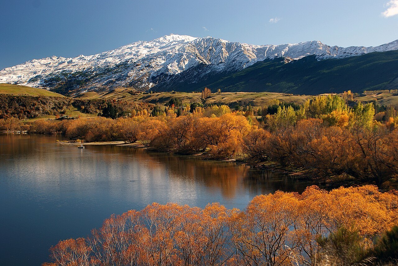
Naming and Landform
Te Ara credits surveyor James McKerrow with giving the peak its name, and cautiously suggests the shape of the summit rock as the likely inspiration, though this remains an attribution rather than a documented certainty. The summit itself sits atop terrain that New Zealand Geological Survey geologist Bryce Leslie Wood described as an uneven, partly slumped slope, a landform whose irregular relief distinguishes it from more uniform alpine ridgelines in the district.
Wood's account specifically notes that the southern slopes retain winter snow, a consequence of aspect and elevation that sets those faces apart from the more exposed terrain elsewhere on the mountain. That capacity to hold snow across the winter season would later become the defining practical feature of Coronet Peak's modern history.
The Arrival of Commercial Skiing
NZSki records July 1947 as the beginning of commercial skiing on Coronet Peak, when a rope tow was installed and operations began under the founding initiative of Harry Wigley. That date places Coronet Peak among the earliest sites of organized alpine skiing in New Zealand, establishing a formal relationship between the mountain's terrain and a paying public that would shape its development through the following decades.
The 1947 Rope Tow
The ski area opened with a single rope tow in July 1947. The operator identifies Harry Wigley as the founder. Early skiers shared the mountainside with farmland, using the slopes in winter when snow covered the pasture.