
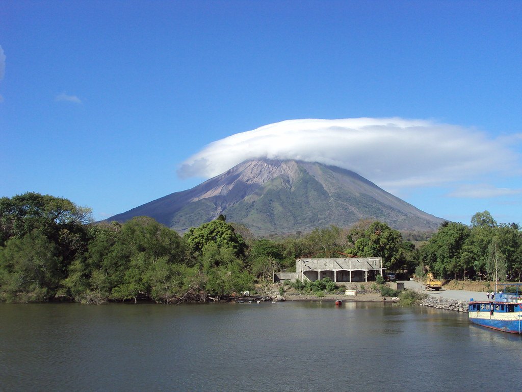
Edifice structure and crater morphology
The modern Concepción cone grew over lacustrine sediments and over a caldera largely buried beneath the lava flows and pyroclastics accumulated during its eruptive history. The summit holds a steep-walled crater with a depth of around 250 m.
The volcano's flanks are crossed by north–south-trending fractures that host minor cones and domes. Some of these secondary centers extend to the vicinity of the lakeshore, indicating that volcanic activity has found outlet pathways along the edifice's structural weaknesses.
Documented eruptive episodes
The historical record of Concepción includes the 1883 episode documented by INETER, during which earthquakes, ash emissions, lava flows, and ejection of incandescent blocks occurred. In March 2010 the Smithsonian Institution documented ashfall over communities located to the southwest of Ometepe. The two episodes provide information on the types of products emitted and the geographic extent of dispersal at different points in time.
Ometepe and Lake Nicaragua
Concepción occupies the northwestern sector of Lake Nicaragua, and an isthmus connects it to the southeastern half of the island, where Volcán Maderas is located. The documented eruptions have affected both the island and nearby communities within this lacustrine setting.