
Burchell's 1812 Account and the Name Spitzkop
The explorer and naturalist William Burchell documented the mountain during his travels through the Snow Mountains in 1812, a record preserved in the SANBI Strelitzia compilation. His account notes the peak under its earlier name, Spitzkop, providing one of the earliest written references to the summit and its surrounding terrain in European natural-history literature.
Thestor compassbergae and the Summit Ecosystem
SANBI records the Compassberg skolly, Thestor compassbergae, as a butterfly endemic to this mountain. The South African Environmental Observation Network classifies the summit zone by its high-altitude plant communities, and research conducted at the monitoring site distinguishes the grassland and ravine vegetation of the upper mountain from the dry-adapted flora of the lower slopes.
Elevation and Regional Standing in the Sneeuberg
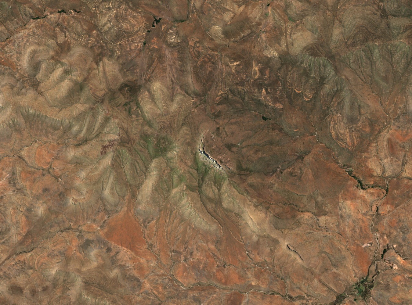
At 2,502 metres, Compassberg is the highest point of the Eastern Cape Sneeuberg, a designation corroborated by both the World Ribus Southern African survey and the SAEON monitoring station record. The peak sits at approximately 31.76°S, 24.54°E, within the broader Sneeuberg system of the interior Cape plateau.