
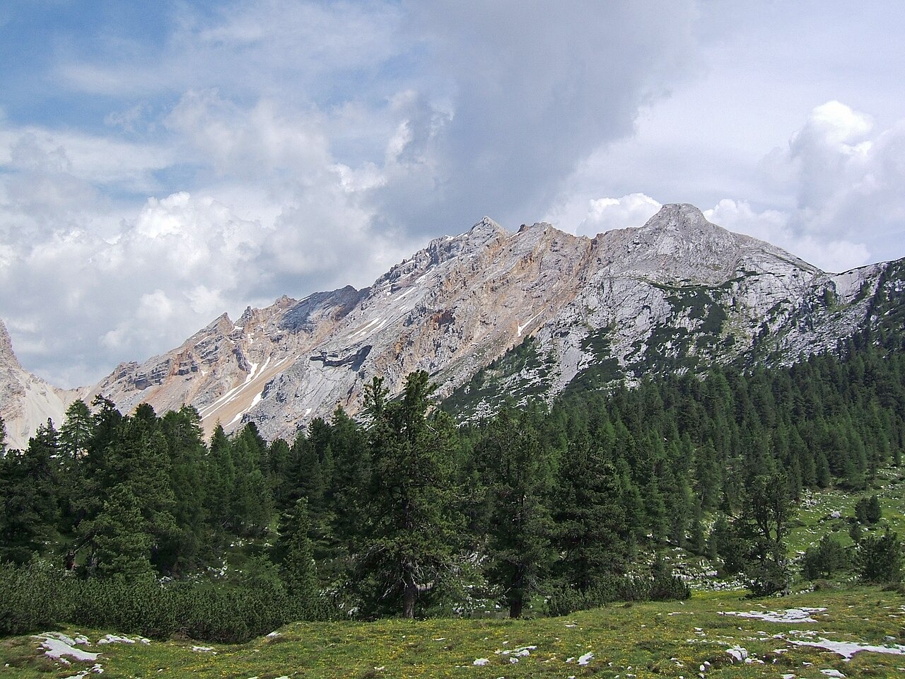
Summit and Names in the Fanes Group
Col Bechei stands at 2,794 m as the principal summit of its named pair within the Fanes-Senes-Braies natural park. Its Ladin name takes the forms Col Bechei Dessora and Col Bechei de Sora, rendered in Italian as Col Bechei di Sopra or Monte Parei. A distinct southern summit, shown on geological mapping, reaches 2,736 m and lies separate from the principal peak.
Folded Strata and the Monte Parei Conglomerate
The older limestones and dolomites forming Col Bechei were originally deposited as marine sediments, later folded by compression. National geological mapping identifies a recumbent fold with a near-horizontal hinge across the group. An earlier western-verging phase produced these structures before upper Oligocene to lower Miocene sandstones and conglomerates, the Monte Parei Conglomerate, accumulated on the southern face. A subsequent south-verging phase then folded that conglomerate, and the layered sequence allows researchers to trace the successive stages of tectonic compression.
A First World War Artillery Position
Below the high summit of Col Bechei, at approximately 2,565 m on the western shoulder, the Fanes Hut has documented an artillery position dating from the First World War. The position remains in place and is recorded as a landscape feature at that elevation, within the broader terrain of the Fanes-Senes-Braies natural park.