
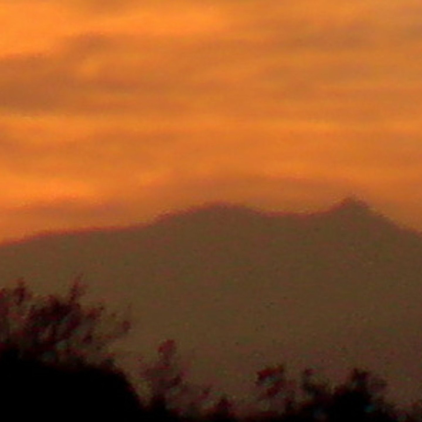
Volcanic origin and summit form
Cofre de Perote is a Quaternary volcano built during the Pleistocene by flows of andesite and dacite that accumulated into a structure of broad relief with gently sloping flanks. The rectangular block shape of its summit is due, at least in part, to glacial erosion during Pleistocene cold cycles, as attributed by the Smithsonian Institution.
The eastern escarpment of the volcano was generated in part by collapses of the edifice itself. To the northeast extends the regional volcanic field of Naolinco, whose cones constitute independent structures.
Position in the volcanic chain
Cofre de Perote occupies the northern-northeastern end of the Veracruz volcanic alignment that extends southeast toward Pico de Orizaba. Its broad relief reflects the accumulation of lava flows throughout the Pleistocene.
Name and protection
The Spanish name coexists with the official Nahuatl toponym of the protected area, Nauhcampatépetl, which CONANP interprets as "hill of the four sides," in reference to the geometry of the summit block. The national park protects the mountain forests covering the volcano's slopes.