
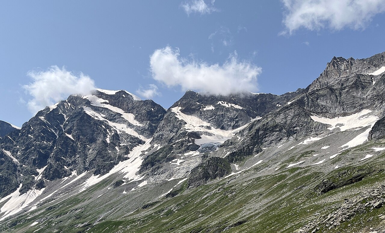
Summit and glacier terrain
The SAC description distinguishes the snow-capped summit from the top of a triangular rock face lying 250 m to the south, where the ridge descends to the Castelfranco Glacier near Macugnaga. Glaciated terrain opens westward toward Zermatt. A photograph taken in the Macugnaga area captures the summit from its eastern aspect.
Club records and the name Jazzi
A Swiss Alpine Club section report from 1871 records a visit to Cima di Jazzi by Herr Duggeli. The SAC notes that Jatz or Jazzi is a regional Valais word for an alpine pasture. On 27 August 1874, Giorgio Spezia ascended from the Italian side above Macugnaga with guides Battista Andermatt and Gaspare Burghener. He noted that the Swiss Alpine Club map he carried showed 3,818 m for the summit, while readings from his Fortin barometer gave 3,854 m. From the Italian side he had also examined through a telescope a possible rocky rib as a line of approach.
Stockhornpass approach
The SAC route material describes the approach to Cima di Jazzi beginning at Monte-Rosa-Hütte, crossing the Gorner Glacier, and continuing to the Stockhornpass before ascending to the summit by its northern glaciated slope. The approach lies entirely on the Swiss side, and the summit looks out over the Italian valleys to the east.