
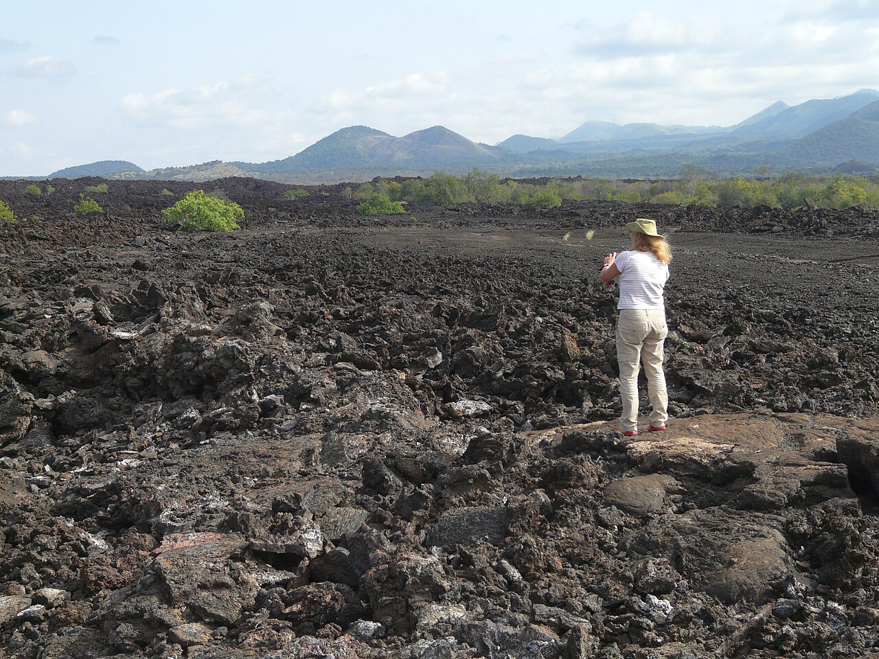
Extent and Volcanic History
The Chyulu Hills extend roughly 100 kilometres along a northwest-to-southeast axis in southern Kenya. The Global Volcanism Program records a catalogue elevation of 2,188 metres for the field, which comprises hundreds of cinder cones and associated lava flows. Volcanism began approximately 1.4 million years ago in the northern part of the field and shifted progressively southeast over time. The GVP attributes the Shaitani and Chainu lava flows, at the southeastern end of this migratory sequence, to eruptions in the mid-nineteenth century.
Lava Tubes and Mzima Springs
Lava tubes form when the outer surface of a moving lava flow solidifies into a crust while molten material drains through the interior, leaving an empty passage. The Kenya Wildlife Service identifies Leviathan Cave, also called Kisula Cave, as one such tube within the national park. The KWS describes the Chyulu Hills as a catchment whose rainfall percolates through the porous volcanic substrate and feeds Mzima Springs.
Tephra Layers at Lake Chala
The Smithsonian's synthesis attributes six dated Pleistocene tephras in Lake Chala sediments to Chyulu Hills eruptions, spanning approximately 87,000 to 16,800 years ago, and one additional layer dated to around 4,200 years ago. These ages derive from chemical analyses and radiometric dating of the lake sediments and describe the eruptions sampled in that sediment column.