
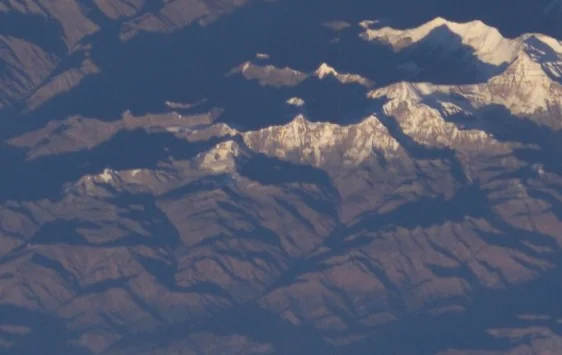
Geography and Heights
The Central summit reaches 7,385 m in the Himalayan Database, based on the Nepal–Finland survey map. Nepal's tourism registry names the peak "Churen" and assigns it 7,371 m; its registered coordinates fall in the vicinity of the western summit, and 7,371 m is also the figure the American Alpine Journal records for West. The reason the two heights differ has not been established.
Early Approaches
J.O.M. Roberts investigated approaches to Churen Himal across several seasons: the northern side via the Kaya Khola in 1954, and the southern side at the Kaphe Glacier in 1962 and 1965. The Himalayan Database records a first ascent of the East summit, the easternmost of the three peaks making up the Churen Himal massif, in April 1970.
First Ascents
A Japanese expedition approached from Gurjakhani and the Kaphe Glacier in 1970. Masayoshi Fukui and Kozo Hasegawa reached the Central summit on 24 October; Hasegawa and Ang Norbu Sherpa stood on the West on 28 October—the party was uncertain which was higher. The 1972 account by Takashi Seizawa covered this 1970 expedition. A later ascent via a southeastern line, with Ang Jangbo and Lhakpa Gyalu among summit climbers, was reported by Chuck Evans's team in 1990.