
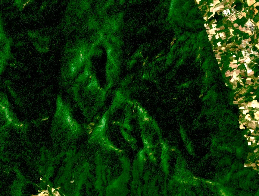
Mountain and Rivers
Chư Mom Rây rises in the Central Highlands, historically associated with Kon Tum Province and recorded under Quảng Ngãi in NBCA documentation from 2026. The Dak Hodrai and Krong Po Ko rivers drain its slopes into the Se San river system, connecting the mountain's terrain to the wider watershed of the upland interior.
Reserve, Park, and Heritage Designation
The area was gazetted as a nature reserve on 7 April 1982. National park status followed on 30 July 2002. The Forest Protection Department and BirdLife profile documents westward lowland connections toward Cambodia's Virachey National Park and the Lao frontier. ASEAN Heritage Park designation was granted on 18 December 2003, as recorded in the national biodiversity volume.
Forest Zones and Watershed
A 2004 forest report identifies lower montane evergreen forest above 1,000 metres and lowland evergreen forest below, both recorded at park level. Higher forest concentrates on Chư Mom Rây's slopes, while lowland evergreen extends toward the park's western boundaries near the border region drained by the Se San tributaries.