
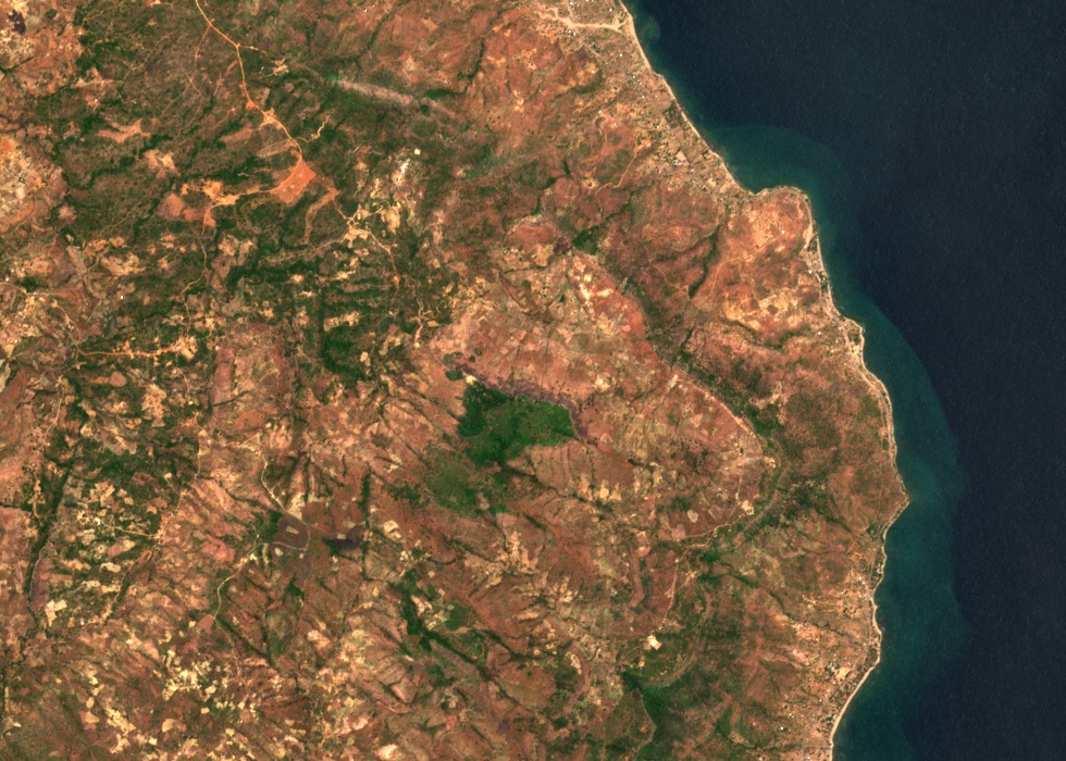
Flat Summit and Lakeward Scarp
Horizontal strata of the Karoo sedimentary rocks give the Livingstonia Hills their characteristic flat tops. The Saka and Yairi field study interprets the flat summit of Chombe Hill as a well-preserved remnant of an older erosion surface that once extended across a wider area. Rift faulting along the lake margin has produced a steep escarpment on the lakeward side.
Rock Section at the Foot of the Hill
In 1896 J. E. S. Moore recorded that igneous rocks at the foot of Mount Waller were exposed above the waterline of Lake Malawi. Resting directly above those igneous rocks he observed a succession of sandstone and conglomerate. Moore published this observation in 1903.
Fossil Fauna of the Chiweta Beds
Frank Dixey visited the Chiweta Beds south of Chombe Hill during a 1925 survey near Livingstonia. He collected fossil bones and sent them to Sidney Haughton, who described gorgonopsians and dicynodonts, both therapsids, in 1926. Later work correlates the Chiweta fauna with a Late Permian assemblage from South Africa.