
Fault Blocks and Gorge Topography
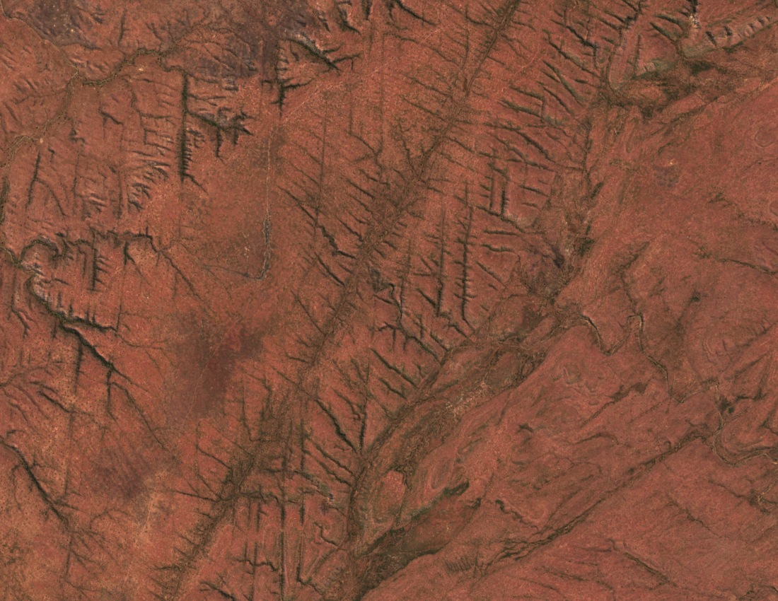
A field study by the Natural Resources Institute describes the plateau as a block bounded by faults. Gently dipping layers of sandstone, grit and conglomerate form part of the block. Water drains from shallow valleys in the interior into much steeper channels at the edge. Some of those branching gorges are visible in the 2026 satellite image.
BirdLife Zimbabwe describes Precambrian sandstone and pebble beds in the northern Tundazi area. Its survey estimates that the escarpment rises around 500 metres from the Zambezi valley. The Mucheni and Sengwa rivers run through gorges in the escarpment system.
Ecology of the Scarp Face
The lower valley supports mopane woodland. In shallow valleys on the plateau, perennial springs can feed grassy wetlands known as vleis. This puts wet grassland, rough upper woodland and dry valley slopes within the same landscape.
Legal Boundaries and Survey Stations
An IUCN inventory, published in 1977, dates the creation of Chizarira Game Reserve to 1963 and records its recognition under the 1969 Land Tenure Act. The Parks and Wild Life Act, first passed in 1975, lists a national park of 191,000 hectares. The boundary follows the crest in places, using survey marks named Chizarira, Siganda and Tundazi. Chizarira is recorded as station 240/P and Tundazi as 231/P.
Tundazi as a Practical Elevation Point
A report by the Tashinga Initiative records the installation of a radio relay on the Tundazi summit in 2011. The project linked communications at Chizarira with Matusadona. Long after surveyors used the summit to mark the boundary, its elevation gave it a second role in conservation.