
Caldera Geology
USGS geological records document the Turkey Creek caldera within the Chiricahua Mountains. A large eruption expelled ash and the ground collapsed; later magmatic activity uplifted part of the caldera floor. The associated Rhyolite Canyon Tuff is a mapped unit within this range. No map unit study identifies the present summit of Chiricahua Peak as a former vent or crater location.
Wilderness Designation
The U.S. Forest Service records an initial wilderness designation for the Chiricahua Wilderness in 1964 and an expansion in 1984. These are distinct events separated by two decades, establishing the administrative framework under which the range has since been managed.
Horseshoe 2 Fire
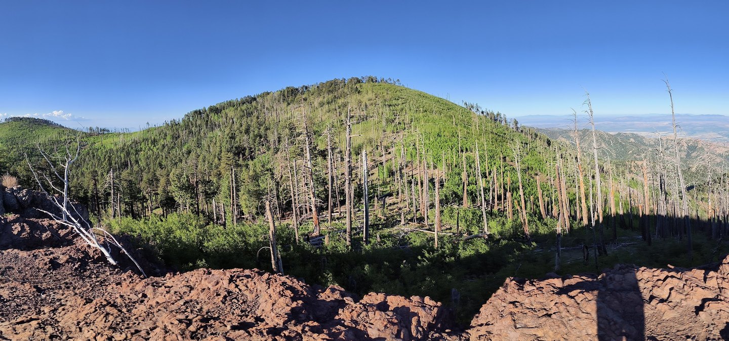
The 2011 Horseshoe 2 Fire crossed much of the Chiricahua Mountains and prompted study of post-fire erosion driven by runoff. Researchers documented erosion patterns across the range following the fire. The available records make no claim about current vegetation conditions at the summit.