
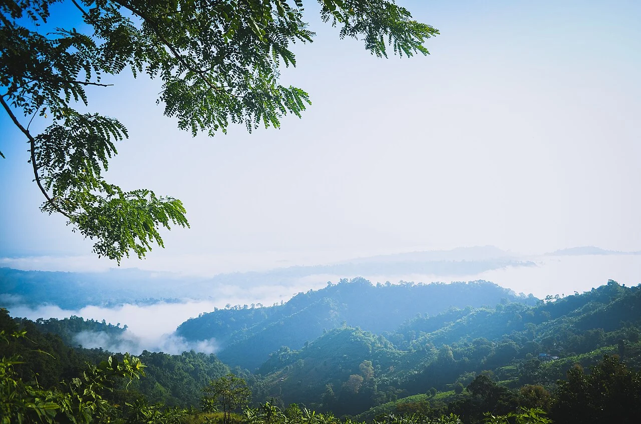
Road Through Forested Ridges
The Bandarban District Administration describes the approach as threading through layered topography: dense forest on ascending ridgelines, seasonal streams, and subtropical vegetation that opens at the lookout into a panorama of successive green ridges receding into haze above the surrounding valley, characteristic of this corner of the Chittagong Hill Tracts.
Mro Villages Along the Approach
The Tongkaboty Union Council identifies Mro communities living in villages near the approach to Chimbuk Hill, presenting these settlements as part of the site's local geography. The council's documentation situates Mro presence along this corridor as a defining feature of the administrative record for this part of Bandarban District.
District Administrative History
The Bandarban Sadar administration records that the wider Chittagong Hill Tracts were constituted as a distinct administrative district in 1860, marking the beginning of a separate administrative history for the region within which Chimbuk Hill sits as a prominent natural feature of the district's hill geography.