
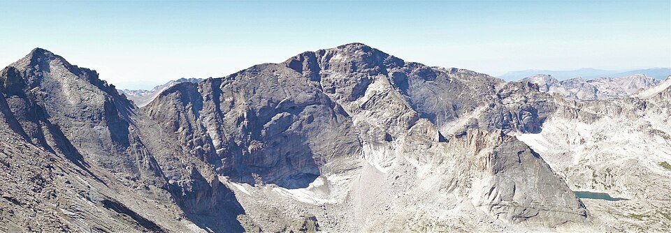
Position and Watershed
The summit stands above drainages flowing toward the St. Vrain and Thompson river systems, near the broader Colorado River watershed, which historical texts called the Grand. The ridge sits between rock basins that shed water in contrasting directions from the high terrain.
Early Documented Ascents
Agnes Vaille and Edna Smith reached the summit on 4 September 1915 via the ridge near Mount Alice. Roger W. Toll and Carle Whitehead made the ascent on 7 July 1916 while scouting a route for a Colorado Mountain Club outing. Both are early documented ascents.
Glacial Landforms of Glacier Gorge
Glacier Gorge presents steep-walled terrain sculpted by glacier ice, with cols and rock basins distributed along the high ridge. These landforms reflect the extent of glacial movement through the southern section of the park.