
Ridges and Karst Geology
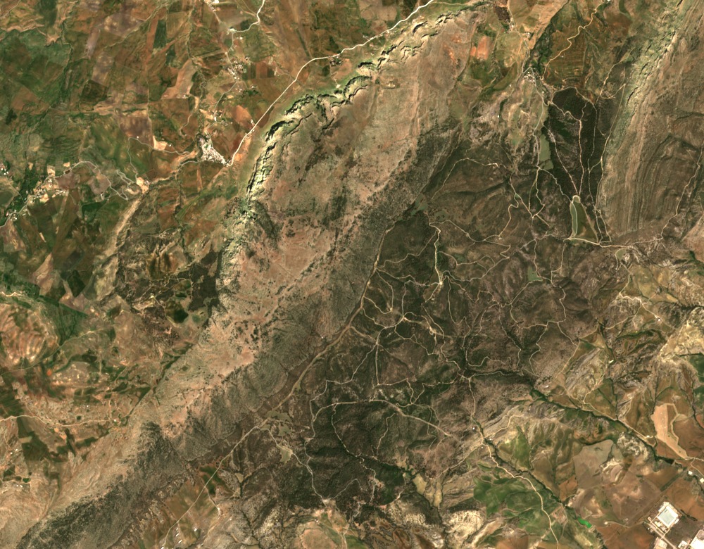
Geologists working from the University of Batna 2 describe the massif as composed of limestone ridges, including the named summits Djebel Zouaoui and Karkara, interspersed with softer marl terrain. Djebel Zouaoui reaches 1,316 m and carries a karst bench on its northern flank at roughly 1,050 to 1,100 m, where fieldwork documents dissolution features along bedding planes and fissures. A 1977 study published in Méditerranée examined this karst formation in detail, distinguishing the dissolution geometry from more generic limestone weathering observed elsewhere in the region. The GeoNames-mapped point at 1,259 m is an approximate location and does not correspond to the Zouaoui summit.
Forest and Soils
A biological study from the Université Frères Mentouri Constantine sampled forest soils at Chettabah as part of a survey of springtails (Hexapoda: Collembola), explicitly treating Chettabah as a separate locality from Djebel El Ouahch to the east. Field materials from the same study document oak and Aleppo pine (Pinus halepensis) within the forested valley corridor. The researchers used the variation in soil and forest composition between the ridges and depressions of Chettabah to characterize habitat differences at the massif scale.
Toponym and Position
The massif appears in sources under both Chettabah and Chettaba, with the former form used in the Constantine field literature. Its mapped position is approximately 36.328 N, 6.451 E, west of Constantine in the direction of Aïn Smara and Ibn Ziad. The coordinate marks the massif as a whole. The field study identifies Djebel Zouaoui separately on a limestone ridge.