
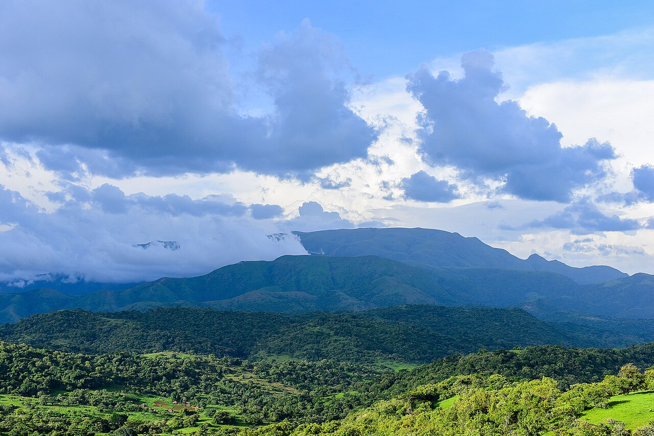
Montane Forests of the Chappal Waddi Uplands
Chapman and colleagues conducted repeated surveys of the montane forests of Taraba State across a thirty-year span, documenting forest cover at lower elevations from roughly 1,300 m on the western slopes. Their work recorded streamside forest persisting near 2,300 m, providing detailed evidence of forest structure and change across the upland zone.
Habitats Across Gashaka Gumti National Park
Gashaka Gumti National Park encompasses a broad range of vegetation, including montane cloud forest, grassland, savanna, and lowland forest. The park's 2025 tentative list submission to UNESCO describes this habitat diversity as a defining characteristic of the protected area, with the southern highland sector containing the park's most elevated terrain.
The Gangirwal Summit and Its Border Setting
The Nigeria National Park Service places the high point of the massif along the international border, within the area it designates as Gangirwal. This boundary position situates the summit at the edge of two countries while keeping the core of the upland landscape within the park's protected zone in Taraba State.