
First Recorded Ascent of the Main Summit
On 27 September 2010, a Japanese team comprising Hirofumi Kobayashi, Seiya Nakasukasa, Yuta Shibayama, and Naoki Yamaguchi made the first recorded ascent of the main summit. Their route involved the southwest face followed by the north ridge, as documented in the Himalayan Database.
Earlier Ascent of the West Summit
Prior to the 2010 main-summit ascent, a separate Japanese expedition climbed the distinct west summit of Changla via the north and west ridges. The American Alpine Journal records this as a separate achievement on a separate peak, unconnected to the main summit's climbing history.
Identification and Regional Context
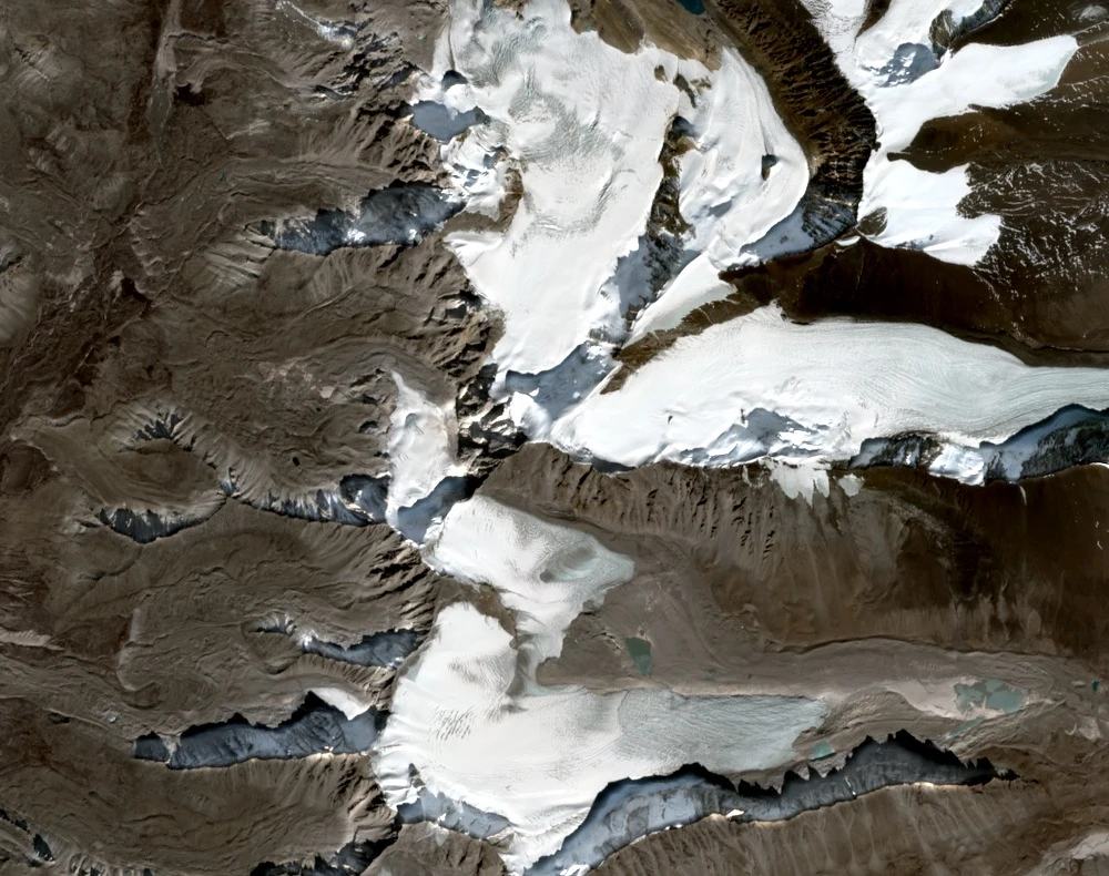
The Angsi Glacier basin expedition documented in the American Alpine Journal contributed to identifying Changla's main summit relative to neighbouring peaks. Nepal's official records and the Himalayan Database together establish the peak's coordinates and elevation, though master coordinate accuracy has noted limitations.