
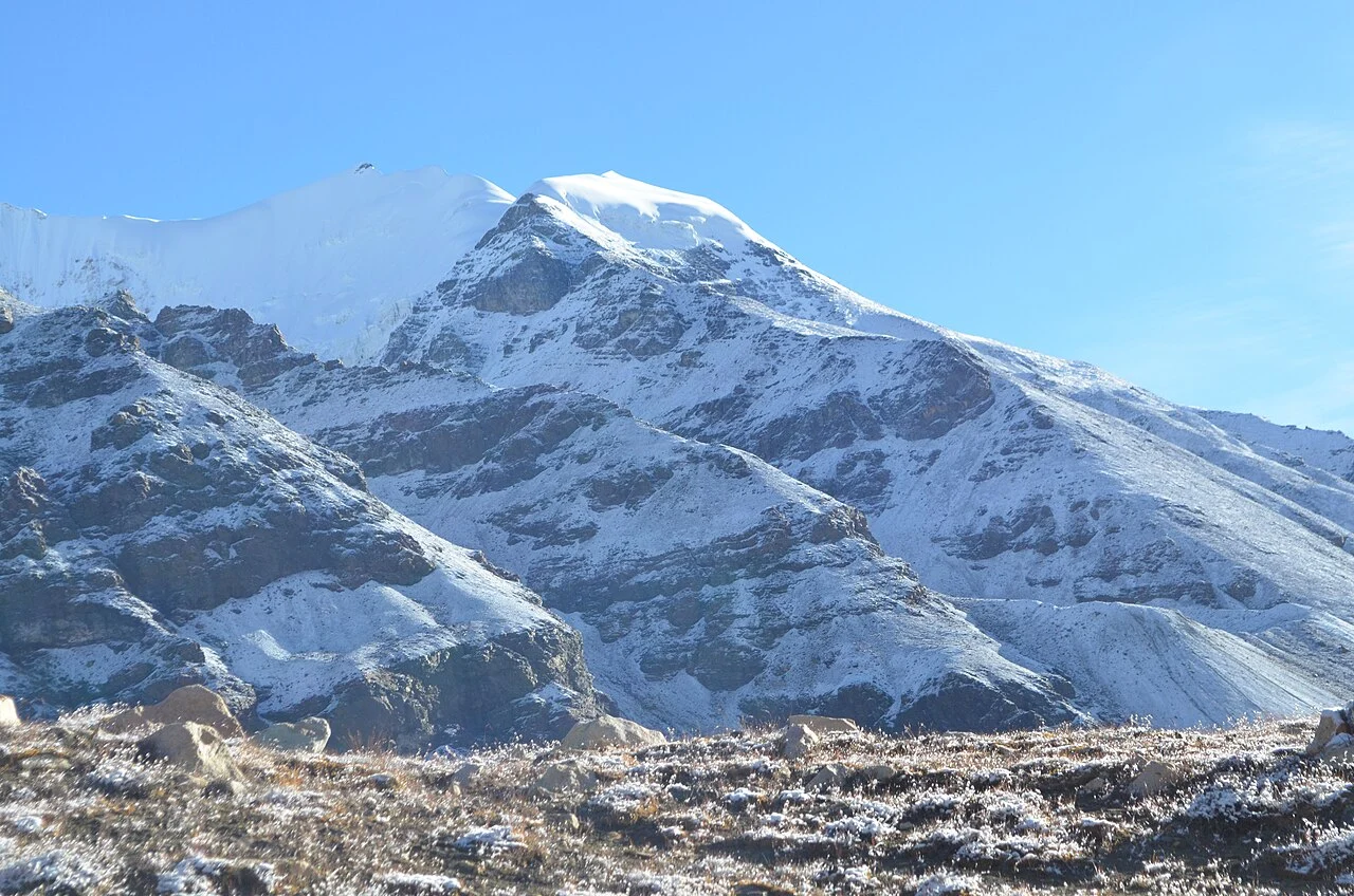
Glacial Terrain and Approaches
The mountain sits within the Chaturangi glacier system, feeding the broader Gangotri basin. Suralaya Bamak to the west and Seta Bamak to the east define its approach corridors and shape its ridgelines. The 1984 Diganta expedition documented the northwestern terrain in detail, recording significant route-finding difficulties encountered during the team's retreat from the upper elevations.
First Ascent and Early Climbers
Frauenberger and Spannraft made the first recorded ascent on 11 September 1938 via the west ridge, as members of an Austrian expedition led by R. Schwarzgruber. An Indian Air Force team led by Pilot Officer Raju climbed the peak in 1965. The Indo-Tibetan Border Police registered a subsequent ascent on 29 September 1974.
The 1984 Diganta Account
S. N. Dhar and A. K. Chattopadhyay published a firsthand account of the 1984 Diganta expedition in the Himalayan Journal, providing the most detailed contemporary narrative of Chandra Parbat's northwestern terrain and descent difficulties. This account offers qualitative depth that supplements the sparse institutional logs left by the 1938, 1965, and 1974 parties.