
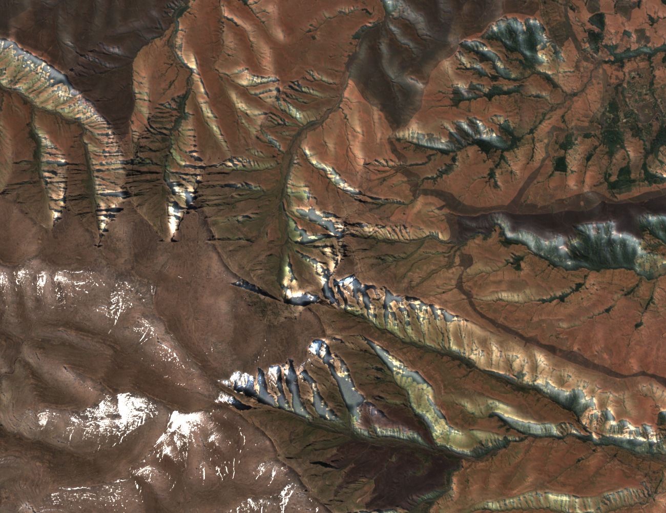
Form and Position on the Escarpment
A 1973 survey in the Alpine Journal placed the main Champagne Castle summit behind the freestanding Cathkin Peak and Monk’s Cowl, on the high plateau. The spur sits above a system of southeast-facing gullies. Its elevation is recorded at 3,248 m in local trail data and 3,246 m on a 2023 Stellenbosch University contour map, best treated as roughly 3,250 m. The nearby Champagne Castle high point carries a distinct label at 3,377 m on the same map.
A 30 August 2025 Sentinel-2 natural-colour scene acquired by the Copernicus programme shows the buttress just below frame centre, with its southeast-facing gullies visible beneath it.
Grey's Pass and Early Expedition Accounts
Access to this part of the escarpment historically ran through Grey's Pass, which rises from the Mhlwazini valley and crosses a notch onto the high plateau. A 1927 firsthand expedition account in the Alpine Journal describes Grey's Pass as a crossing point to what was then called the Basutoland plateau, documenting attempts in the terrain near Cathkin.
Geology and Long Erosion History
The upper Drakensberg consists of Jurassic flood basalts laid over older sedimentary formations, and the cliff and gully texture of Champagne Castle Buttress reflects that layered geology. Regional thermochronology research by Brown, Summerfield and Gleadow, published in the Journal of Geophysical Research in 2002, used apatite fission-track analysis to characterise the long erosional history of the Great Escarpment. Apatite retains a record of its thermal history as it cools through the upper crust, allowing researchers to reconstruct denudation rates from borehole and outcrop samples collected across the region.
In 2000, UNESCO listed South Africa’s uKhahlamba-Drakensberg Park as a World Heritage site for its natural and cultural values. The property was enlarged in 2013 to incorporate Sehlabathebe National Park in Lesotho, and it now extends across the border between South Africa and Lesotho. The buttress lies within the South African portion of the property.
Terrain Mapping and Drone Research
A 2023 master's thesis from Stellenbosch University used the Champagne Castle topography as the basis for a simulation of autonomous multi-drone search coverage. The study constructed a grid-based terrain model from real topographic data and modelled a restriction zone in the vicinity of the national border, with the drones assumed to operate on the South African side. The buttress appears as a labelled feature in the terrain figures, serving as a recognisable reference point within that simulated environment.