
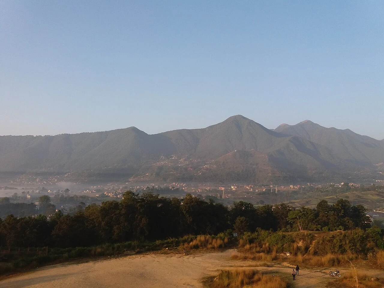
Elevation and Setting
Himal Khabar reports Champadevi Hill's elevation as 2285 m, while a Tribhuvan University forestry field study records a survey figure of 2260 m. Nepal's Ministry of Forests and Environment situates the hill within Kirtipur ward 4, above Bosan and Dakshinkali, and describes its ridge setting in an environmental assessment.
Forest Cover and Shrine Context
The Tribhuvan University community forest study documents the hill's slopes as covered by chir pine and broadleaf woodland under community management. The Hattiban area forms a named geographic connection to the hill and to the separate higher ridge of Bhasmasur beyond it. The Champadevi shrine on the hill is distinct from the Pharping Buddhist sites in the neighboring valley and from the Dakshinkali temple located further below, each occupying its own geographic and cultural position along the southwestern valley corridor.
Ant Diversity Study
In a study spanning spring through autumn 2017, researcher Pokhrel sampled ant diversity on both the north and south slopes of Champadevi using pitfall traps and direct searching, recording 33 genera across six subfamilies.