
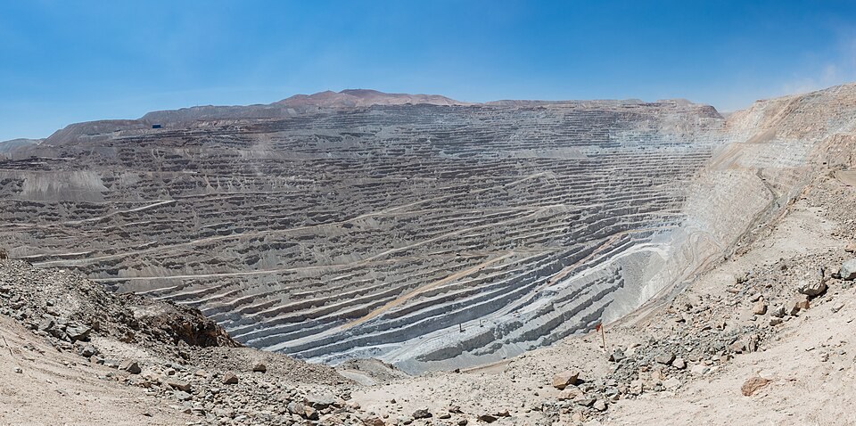
Geological substrate of the surroundings
Geological mapping records outcrops of intrusive and volcanic rocks of various ages in the surrounding area, forming the natural framework of the copper district.
Mining from the pre-Hispanic period
Archaeological studies document copper extraction predating the industrial era in the Chuquicamata area. The transition to large-scale mining began with the incorporation of the Chile Exploration Company in 1912 and the start of industrial operations in 1915, dates recorded by Memoria Chilena.
Transformation of the landform and heritage
The opening of the open-pit mine altered the original relief profile of the hills. The camp that grew up alongside the mining operations eventually became a historic area protected by the Consejo de Monumentos Nacionales de Chile.