
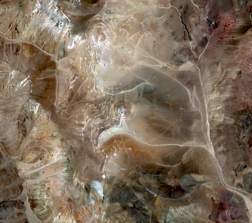
Ash layers and a later intrusion
Field geologists identified small volcanic fragments in layers of tuff on the eastern flank. They tentatively dated those layers to the Eocene–Oligocene. Later, a mass of magma crystallized underground. Uranium–lead dating put the intrusive rock high on Vicuña at about 16.12 million years old. It contains conspicuous feldspar crystals set in a finer matrix.
Minerals altered by hot fluids
Argentina’s geological survey found clay alteration and biotite partly replaced by chlorite. These changes preserve evidence of hot fluids circulating through the rock. During field mapping and rock-chip sampling in 1998–1999, geologists documented a silica-rich cap on the upper terrain.
Mapping the rock beneath the surface
A 2024 survey map labels the rounded summit of Cerro Vicuña separately from the Filo del Sol and Tamberías areas to its north. In a later technical report, magnetic survey results helped trace bodies of intrusive rock near Cerro Vicuña. The optical satellite photograph shows the mountain and the surrounding slopes from above.