
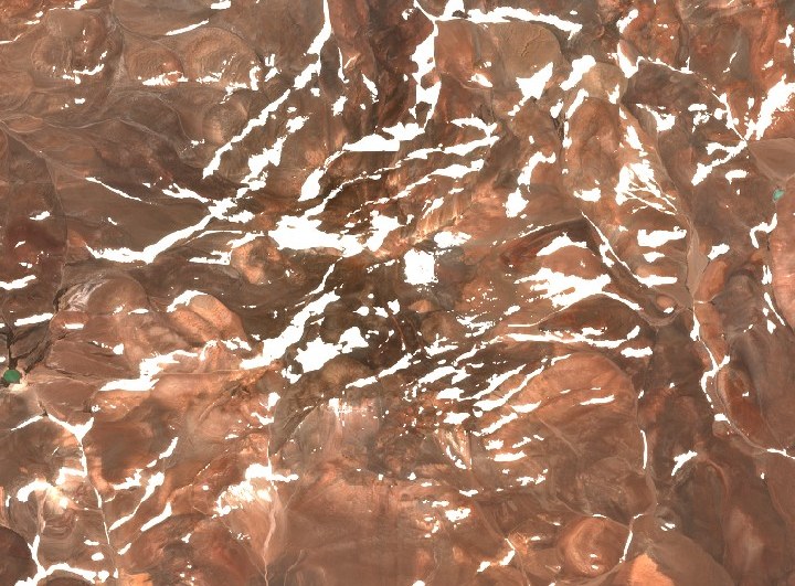
Glaciers and high-altitude landscape
The IANIGLA glacier inventory documents the ice bodies of the massif, among them the glacier on the west face. The surroundings combine volcanic rock with the high-altitude desert characteristic of this section of the Andean cordillera.
First winter ascent
On 16 September 2006, Guillermo Almaraz, Eduardo Namur, and Nicolás Pantaleón reached the summit via a new route on the west flank, in the first documented winter ascent of Veladero. The expedition operated with two ropes: that same day the other rope reached Monte Pissis.
Basin and salt flats
Veladero sits within a high-altitude basin whose waters feed salt flat systems in the adjacent lowlands. Laguna Brava, close to the massif, articulates the hydrological relationship between the cordillera and the endorheic basins of La Rioja.